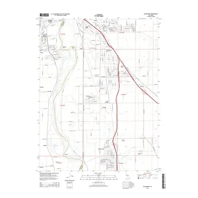
2015 Map of Olivehurst
USGS Topo · Published 2015About this map
The Feather River serves as the central artery of this landscape, defining the border between Sutter and Yuba counties as it snakes past a series of river bends. The map documents the residential and industrial corridors extending south from Yuba City and Linda, including the sprawling communities of Olivehurst and Plumas Lake. Transportation networks dominate the eastern portion of the sheet, with the Yuba County Airport and the intersection of rail lines and highways near Ostrom and Pearson.
Find a feature on this map
196 named features on this map. Tap any name to fly to it.
Don’t see what you’re looking for? This feature index may not catch every label — zoom into the map to look around manually.
Map Details
Editions of this 2015 Olivehurst Map
This is the sole edition of this map. No revisions or reprints were ever made.
Other maps of this area

1888 · Marysville
USGS Topo · 1:125,000

1888 · Smartsville
USGS Topo · 1:125,000

1891 · Sacramento
USGS Topo · 1:125,000

1891 · Marysville
USGS Topo · 1:125,000

1891 · Smartsville
USGS Topo · 1:125,000

1892 · Sacramento
USGS Topo · 1:125,000

1892 · Smartsville
USGS Topo · 1:125,000

1893 · Sacramento
USGS Topo · 1:125,000

1894 · Smartsville
USGS Topo · 1:125,000

1894 · Marysville
USGS Topo · 1:125,000