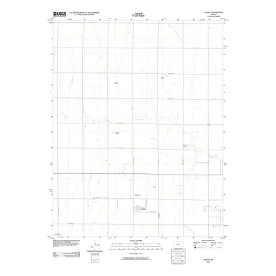
2009 Map of Olmitz
USGS Topo · Published 2009About this map
The settlement of Olmitz anchors this landscape in western Barton County, where the grid of rural roads meets the winding path of Blood Creek. The territory is defined by its dual economy of agriculture and energy extraction, evidenced by the numerous petroleum operations scattered across the plains. Several active areas, including the Leoville Oil Field, Matter Oil Field, Mary A Oil Field, and Carroll Oil Field, underscore the significance of the region's mineral wealth during the early 21st century. This survey provides vital documentation for genealogists and local historians through the precise location of community landmarks. Traditional burial sites such as Saint Anns Cemetery, Boyle Cemetery, and Saint Anthony Cemetery are clearly marked, offering a spatial record of the families who settled this portion of the Kansas prairie near the headwaters of Landon Creek.
Find a feature on this map
27 named features on this map. Tap any name to fly to it.
Don’t see what you’re looking for? This feature index may not catch every label — zoom into the map to look around manually.
Map Details
Editions of this 2009 Olmitz Map
This is the sole edition of this map. No revisions or reprints were ever made.
Other maps of this area

1889 · Larned
USGS Topo · 1:125,000

1891 · Great Bend
USGS Topo · 1:125,000

1891 · Larned
USGS Topo · 1:125,000

1893 · Great Bend
USGS Topo · 1:125,000

1896 · Russell
USGS Topo · 1:125,000

1896 · Hays
USGS Topo · 1:125,000

1955 · Great Bend
USGS Topo · 1:250,000

1957 · Great Bend
USGS Topo · 1:250,000

1958 · Great Bend
USGS Topo · 1:250,000

1959 · Great Bend NE
USGS Topo · 1:24,000