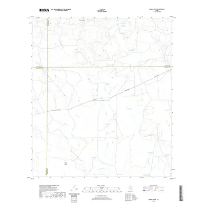
2019 Map of Olmos Creek
USGS Topo · Published 2019About this map
Black Brush Ridge and the low-lying Kennedy Flats anchor a landscape defined by an extensive network of ephemeral drainages and stock tanks at the intersection of Maverick, Zavala, Uvalde, and Kinney Counties. The drainage pattern is complex, with Olmos Cr, Muela Cr, and Chaparrosa Cr carving shallow paths through the brush country. The reliance on managed water sources for ranching is evident in the numerous named tanks, such as Lilly Pad Tank, Muela Tank, and the larger Griffin Cattle Company Lake to the south. Ranch Rd 481 serves as the primary artery through this territory, cutting across Conejos Cr as it connects the scattered ranching operations. The topography is subtle but significant for local navigation, marked by elevations like Buck Hill and the distinct path of the Arroyo de San Lucas.
Find a feature on this map
38 named features on this map. Tap any name to fly to it.
Don’t see what you’re looking for? This feature index may not catch every label — zoom into the map to look around manually.
Map Details
Editions of this 2019 Olmos Creek Map
This is the sole edition of this map. No revisions or reprints were ever made.
Other maps of this area
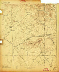
1896 · Brackett
USGS Topo · 1:125,000
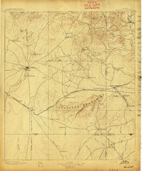
1897 · Brackett
USGS Topo · 1:125,000
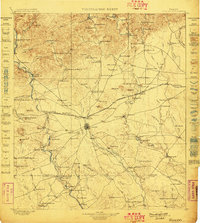
1898 · Uvalde
USGS Topo · 1:125,000
1899 · Uvalde
USGS Topo · 1:125,000
1939 · La Pryor
USGS Topo · 1:62,500
1940 · Chacon Creek
USGS Topo · 1:62,500
1949 · Cline
USGS Topo · 1:62,500

1953 · Crystal City
USGS Topo · 1:250,000
1954 · San Antonio
USGS Topo · 1:250,000

1955 · Crystal City
USGS Topo · 1:250,000