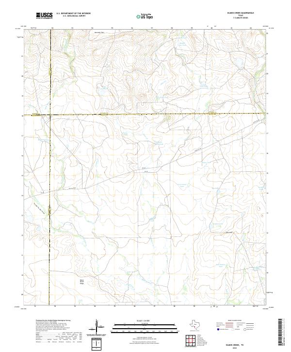
2022 Map of Olmos Creek
USGS Topo · Published 2022About this map
Black Brush Ridge and Buck Hill anchor this expanse of South Texas where the boundaries of Maverick, Zavala, Kinney, and Uvalde counties converge. The landscape is defined by an intricate network of drainage systems and man-made water catchments essential for ranching in this arid environment. Significant watercourses including Olmos Cr, Chaparrosa Cr, and Muela Cr wind through the territory, punctuated by named stock tanks such as Javalina Tank, Government Tank, and Jones Tank. Transportation is limited to a few primary corridors like Ranch Rd 481, which cuts across the terrain to connect disparate grazing lands. The geography of the Kennedy Flats area demonstrates a traditional land-use pattern where topography dictates the placement of tanks and roads, reflecting the enduring cattle-rearing heritage of this borderlands region.
Find a feature on this map
37 named features on this map. Tap any name to fly to it.
Don’t see what you’re looking for? This feature index may not catch every label — zoom into the map to look around manually.
Map Details
Editions of this 2022 Olmos Creek Map
This is the sole edition of this map. No revisions or reprints were ever made.
Other maps of this area

1896 · Brackett
USGS Topo · 1:125,000

1897 · Brackett
USGS Topo · 1:125,000

1898 · Uvalde
USGS Topo · 1:125,000

1899 · Uvalde
USGS Topo · 1:125,000

1939 · La Pryor
USGS Topo · 1:62,500

1940 · Chacon Creek
USGS Topo · 1:62,500

1949 · Cline
USGS Topo · 1:62,500

1953 · Crystal City
USGS Topo · 1:250,000

1954 · San Antonio
USGS Topo · 1:250,000

1955 · Crystal City
USGS Topo · 1:250,000