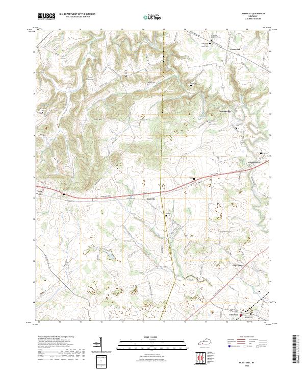
2022 Map of Olmstead
USGS Topo · Published 2022About this map
Gordonsville and the surrounding rural landscapes of Logan and Todd counties are defined by a network of family cemeteries and small crossroads settlements. This 2022 survey documents a deeply rooted agricultural community where landmarks like the Greenridge Cumberland Presbyterian Cem and Green Ridge Baptist Church Cem serve as focal points for local history. The terrain is drained by Whippoorwill Cr and its tributaries, including Vicks Br and Dry Br, which carve through the countryside near Daysville.
Find a feature on this map
83 named features on this map. Tap any name to fly to it.
Don’t see what you’re looking for? This feature index may not catch every label — zoom into the map to look around manually.
Map Details
Editions of this 2022 Olmstead Map
This is the sole edition of this map. No revisions or reprints were ever made.
Other maps of this area
1950 · Allensville
USGS Topo · 1:24,000
1950 · Guthrie
USGS Topo · 1:24,000
1950 · Olmstead
USGS Topo · 1:24,000
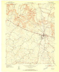
1951 · Elkton
USGS Topo · 1:24,000
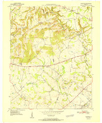
1951 · Olmstead
USGS Topo · 1:24,000
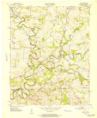
1951 · Dot
USGS Topo · 1:24,000
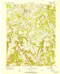
1951 · Lewisburg
USGS Topo · 1:24,000
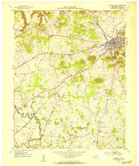
1952 · Russellville
USGS Topo · 1:24,000
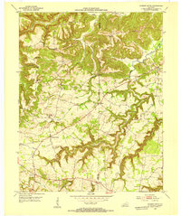
1952 · Sharon Grove
USGS Topo · 1:24,000
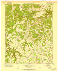
1952 · Allegre
USGS Topo · 1:24,000