
1951 Map of Olmstead
USGS Topo · Published 1951About this map
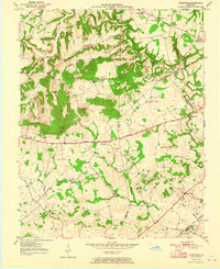
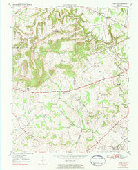
Olmstead sits at the southern edge of this mid-century survey, positioned along the Louisville and Nashville railroad line. The landscape is defined by the winding course of Whippoorwill Creek and its various tributaries, including Bennett Branch and Vicks Branch. This rural portion of the Kentucky-Tennessee border region shows a high density of community institutions that served the agricultural population, including the Greenridge Sch, Union Sch, and several houses of worship such as Cumberland Ch and Johnson Chapel. The map reveals a transition between concentrated settlements like Daysville and the more dispersed farming clusters near Pea Ridge and Gordonsville. Local family history is well-preserved through numerous named landmarks and burial sites, including the Browder Cem, Bennett Cem, and Lee Cem, alongside the centrally located County Home.
Find a feature on this map
29 named features on this map. Tap any name to fly to it.
Don’t see what you’re looking for? This feature index may not catch every label — zoom into the map to look around manually.
Map Details
Editions of this 1951 Olmstead Map
3 editions found
Other maps of this area

1950 · Allensville
USGS Topo · 1:24,000

1950 · Guthrie
USGS Topo · 1:24,000

1950 · Olmstead
USGS Topo · 1:24,000

1951 · Elkton
USGS Topo · 1:24,000

1951 · Dot
USGS Topo · 1:24,000

1951 · Lewisburg
USGS Topo · 1:24,000

1952 · Russellville
USGS Topo · 1:24,000

1952 · Sharon Grove
USGS Topo · 1:24,000

1952 · Allegre
USGS Topo · 1:24,000

1956 · Nashville
USGS Topo · 1:250,000