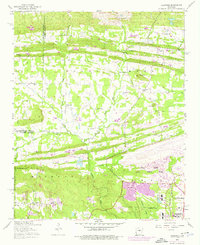
1954 Map of Olmstead
USGS Topo · Published 1976About this map
Little Rock Air Force Base dominates the southeastern portion of this landscape, its expansive runways and installations marking the mid-century expansion of military infrastructure north of Jacksonville. The surrounding rural character is defined by a series of prominent ridges, including Backbone Ridge and Mill Ridge, which influence the path of Batesville Road and the winding course of Bayou Meto. Local history is preserved through a network of country churches and family landmarks such as Stanfill Church, Zion Hill Church, and the site of Tates Mill. The map documents a transition from traditional agrarian life to modern defense-related urbanization, visible in the growth around Olmstead and the proximity of the National Guard Training Area near Flat Rock Mountain. Genealogists will find particular value in the placement of the Gibson Cemetery and Mount Valley Cemetery relative to the historic settlements of Macon and Warsaw.
Find a feature on this map
45 named features on this map. Tap any name to fly to it.
Don’t see what you’re looking for? This feature index may not catch every label — zoom into the map to look around manually.
Map Details
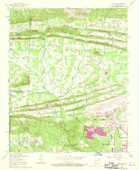
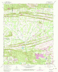
Editions of this 1954 Olmstead Map
4 editions found
Other maps of this area

1891 · Little Rock
USGS Topo · 1:125,000

1893 · Little Rock
USGS Topo · 1:125,000

1935 · Mc Almont
USGS Topo · 1:24,000

1935 · North Little Rock
USGS Topo · 1:24,000

1941 · Olmstead
USGS Topo · 1:31,680

1941 · Cabot
USGS Topo · 1:31,680

1943 · Jacksonville
USGS Topo · 1:31,680

1953 · Cato
USGS Topo · 1:24,000

1954 · Mc Almont
USGS Topo · 1:24,000

1954 · Olmstead
USGS Topo · 1:24,000