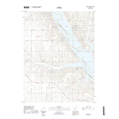
2018 Map of Olsburg SW
USGS Topo · Published 2018About this map
Tuttle Creek Lake dominates this portion of Riley County, where the irregular shoreline of the reservoir meets the dramatic topography of the Kansas Flint Hills. The map details a landscape defined by deep drainages like Frog Holler and several tributaries including Mill Creek and Kitten Creek. This 2018 survey reveals a mix of established rural infrastructure and modern residential development, particularly along the lake's western edge where roads like Lakeview Drive and Summit Ridge Drive trace the high ground. Genealogists will find the locations of Hohman Cemetery and Garrison Cemetery preserved here, while the presence of the Sunshine Ranch Airport and the boundary with Pottawatomie County provide essential geographic orientation for local historians.
Find a feature on this map
69 named features on this map. Tap any name to fly to it.
Don’t see what you’re looking for? This feature index may not catch every label — zoom into the map to look around manually.
Map Details
Editions of this 2018 Olsburg SW Map
This is the sole edition of this map. No revisions or reprints were ever made.
Other maps of this area
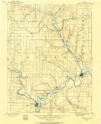
1886 · Junction City
USGS Topo · 1:125,000
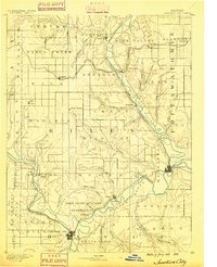
1889 · Junction City
USGS Topo · 1:125,000
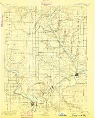
1894 · Junction City
USGS Topo · 1:125,000
1947 · Manhattan
USGS Topo · 1:62,500
1947 · Fort Riley
USGS Topo · 1:62,500
1950 · Keats
USGS Topo · 1:24,000
1950 · Manhattan
USGS Topo · 1:24,000
1951 · Wind Creek
USGS Topo · 1:24,000
1955 · Fort Riley NE
USGS Topo · 1:24,000
1955 · Manhattan
USGS Topo · 1:24,000