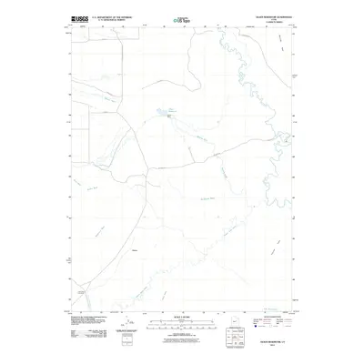
2011 Map of Olsen Reservoir
USGS Topo · Published 2011About this map
The settlement of Victor and its neighboring Old Victor Cemetery anchor this 2011 survey of the Emery County landscape. The terrain is defined by a complex network of ephemeral drainage patterns, including Washboard Wash, Desert Seep Wash, and Marsing Wash, which cut through the arid soil towards the Price River. The map captures the essential water management infrastructure of the high desert, centered on the Olsen Reservoir and its associated Olsen Dam.
Find a feature on this map
23 named features on this map. Tap any name to fly to it.
Don’t see what you’re looking for? This feature index may not catch every label — zoom into the map to look around manually.
Map Details
Editions of this 2011 Olsen Reservoir Map
This is the sole edition of this map. No revisions or reprints were ever made.
Other maps of this area

1886 · Price River
USGS Topo · 1:250,000

1896 · Price River
USGS Topo · 1:250,000

1914 · Castle Gate
USGS Topo · 1:62,500

1915 · Wellington
USGS Topo · 1:62,500

1916 · Castle Gate
USGS Topo · 1:62,500

1956 · Price
USGS Topo · 1:250,000

1960 · Price
USGS Topo · 1:250,000

1962 · Price
USGS Topo · 1:250,000

1969 · Olsen Reservoir
USGS Topo · 1:24,000

1969 · Elmo
USGS Topo · 1:24,000