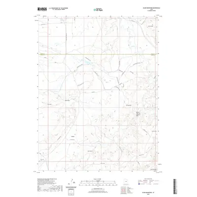
2020 Map of Olsen Reservoir
USGS Topo · Published 2020About this map
The high desert landscape along the border of Carbon and Emery counties comes into sharp focus through the network of seasonal drainages and isolated water sources that defined life in this arid region. The settlement of Victor sits near the base of the Bench, while the Victor Cem provides a tangible link to the families who established themselves in this corner of Utah. Water management is the primary theme of the terrain, evidenced by the Olsen Reservoir and a system of ditches including the Desert Lake N Ditch and Allen Ditch Rd.
Find a feature on this map
41 named features on this map. Tap any name to fly to it.
Don’t see what you’re looking for? This feature index may not catch every label — zoom into the map to look around manually.
Map Details
Editions of this 2020 Olsen Reservoir Map
This is the sole edition of this map. No revisions or reprints were ever made.
Other maps of this area

1886 · Price River
USGS Topo · 1:250,000

1896 · Price River
USGS Topo · 1:250,000

1914 · Castle Gate
USGS Topo · 1:62,500

1915 · Wellington
USGS Topo · 1:62,500

1916 · Castle Gate
USGS Topo · 1:62,500

1956 · Price
USGS Topo · 1:250,000

1960 · Price
USGS Topo · 1:250,000

1962 · Price
USGS Topo · 1:250,000

1969 · Olsen Reservoir
USGS Topo · 1:24,000

1969 · Elmo
USGS Topo · 1:24,000