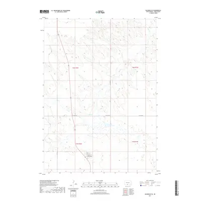
2017 Map of Olsonville SE
USGS Topo · Published 2017About this map
Rock Cr meanders across this prairie landscape of Todd County, defining the drainage patterns through a series of subtle wetlands and low-lying depressions. The area is characterized by a sparse but deliberate network of rural routes, most notably Little Burg Rd, which serves as a primary east-west corridor for the Antelope Segment. In the southern portion of the sheet, a cluster of residential streets including Village Loop Rd, Sundance St, and Buffalo St indicates a concentrated community hub amidst the surrounding township sections of t35n r28w. This 2017 survey documents the modern road grid and land divisions within the Rosebud Indian Reservation, showing how local infrastructure like 276th Ave integrates with the natural hydrology of the Great Plains.
Find a feature on this map
11 named features on this map. Tap any name to fly to it.
Don’t see what you’re looking for? This feature index may not catch every label — zoom into the map to look around manually.
Map Details
Editions of this 2017 Olsonville SE Map
This is the sole edition of this map. No revisions or reprints were ever made.
Other maps of this area
1950 · Sparks
USGS Topo · 1:62,500
1950 · Valentine
USGS Topo · 1:62,500
1955 · Martin
USGS Topo · 1:250,000
1957 · Valentine
USGS Topo · 1:250,000
1958 · Martin
USGS Topo · 1:250,000
1959 · Valentine
USGS Topo · 1:250,000
1969 · Olsonville NW
USGS Topo · 1:24,000
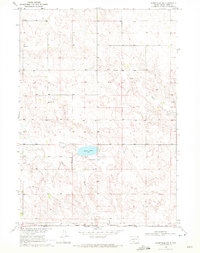
1969 · Olsonville SW
USGS Topo · 1:24,000
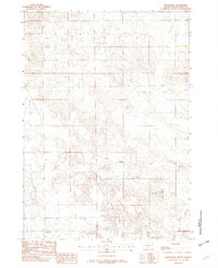
1982 · Olsonville
USGS Topo · 1:24,000
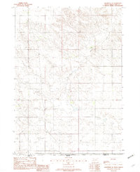
1982 · Olsonville SE
USGS Topo · 1:24,000
Featured Places
- Antelope Segment, SD
- Rosebud, Antelope Segment
- Sicangu Village, Antelope Segment
- Todd County, SD
- United States