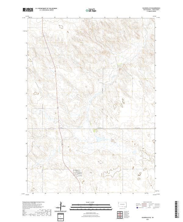
2021 Map of Olsonville SE
USGS Topo · Published 2021About this map
The undulating prairie landscape of Todd County is defined by the winding course of Rock Cr, which carves through the terrain in the northern and central sections of this survey. The rural character of the area is evident in the sparse network of section-line roads and the concentrated residential development appearing in the southern portion of the map. Here, a small cluster of named streets including Hawk St, Buffalo St, and Sundance St indicates a pocket of more dense settlement along Village Loop Rd. Outside of this enclave, the land is largely open, traversed by arterial routes like Little Burg Rd and 276th Ave. This layout reflects the modern land-use patterns of the region, where isolated residential zones are situated within a larger framework of agricultural or tribal lands.
Find a feature on this map
11 named features on this map. Tap any name to fly to it.
Don’t see what you’re looking for? This feature index may not catch every label — zoom into the map to look around manually.
Map Details
Editions of this 2021 Olsonville SE Map
This is the sole edition of this map. No revisions or reprints were ever made.
Other maps of this area

1950 · Sparks
USGS Topo · 1:62,500

1950 · Valentine
USGS Topo · 1:62,500

1955 · Martin
USGS Topo · 1:250,000

1957 · Valentine
USGS Topo · 1:250,000

1958 · Martin
USGS Topo · 1:250,000

1959 · Valentine
USGS Topo · 1:250,000

1969 · Olsonville NW
USGS Topo · 1:24,000

1969 · Olsonville SW
USGS Topo · 1:24,000

1982 · Olsonville
USGS Topo · 1:24,000

1982 · Olsonville SE
USGS Topo · 1:24,000
Featured Places
- Rosebud, Antelope Segment
- Sicangu Village, Antelope Segment
- Antelope Segment, SD
- Todd County, SD
- United States