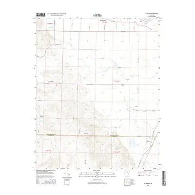
2014 Map of Olyphant
USGS Topo · Published 2014About this map
Olyphant and the surrounding Independence and Jackson County borderlands are defined by the winding course of Departee Creek and the proximity of the White River. In this corner of Arkansas, the landscape transitions from the river lowlands, marked by Grassy Lake and Lake Whitstine, into more varied terrain to the west. Small agricultural communities such as Thida, Bailey, and Elmo are connected by a network of local roads like Buzzard Roost Rd and Goatneck Rd, reflecting a rural settlement pattern centered on family farming and land management. Genealogists will find particular value in the documentation of local burial sites, including Sanders Cem, Hindman Cem, and Lone Beech Cem, which serve as quiet markers of the area's long-term residency. The map also traces numerous smaller drainage systems like Hall Cr and Blue Cr that feed into the larger river basin.
Find a feature on this map
61 named features on this map. Tap any name to fly to it.
Don’t see what you’re looking for? This feature index may not catch every label — zoom into the map to look around manually.
Map Details
Editions of this 2014 Olyphant Map
This is the sole edition of this map. No revisions or reprints were ever made.
Other maps of this area

1890 · Batesville
USGS Topo · 1:125,000

1891 · Batesville
USGS Topo · 1:125,000

1935 · Newport
USGS Topo · 1:62,500

1935 · Augusta
USGS Topo · 1:62,500

1935 · Bald Knob
USGS Topo · 1:62,500

1942 · Salado
USGS Topo · 1:31,680

1953 · Memphis
USGS Topo · 1:250,000

1956 · Memphis
USGS Topo · 1:250,000
1956 · Newark
USGS Topo · 1:24,000

1957 · Augusta
USGS Topo · 1:62,500