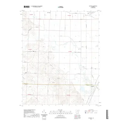
2020 Map of Olyphant
USGS Topo · Published 2020About this map
Oil Trough and the neighboring agricultural lands along the White River bottomlands define this portion of the Arkansas landscape. The terrain transitions from the river flats near Elmo in the north to the more varied topography of the south, where the boundary between Independence County and Jackson County cuts through the settlement of Olyphant. This survey documents a complex network of wetlands and oxbow formations, including Grassy Lake, Meadow Lake, and Lake Whitstine, which are remnants of the shifting river system.
Find a feature on this map
50 named features on this map. Tap any name to fly to it.
Don’t see what you’re looking for? This feature index may not catch every label — zoom into the map to look around manually.
Map Details
Editions of this 2020 Olyphant Map
This is the sole edition of this map. No revisions or reprints were ever made.
Other maps of this area

1890 · Batesville
USGS Topo · 1:125,000

1891 · Batesville
USGS Topo · 1:125,000

1935 · Newport
USGS Topo · 1:62,500

1935 · Augusta
USGS Topo · 1:62,500

1935 · Bald Knob
USGS Topo · 1:62,500

1942 · Salado
USGS Topo · 1:31,680

1953 · Memphis
USGS Topo · 1:250,000

1956 · Memphis
USGS Topo · 1:250,000
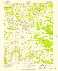
1956 · Newark
USGS Topo · 1:24,000

1957 · Augusta
USGS Topo · 1:62,500