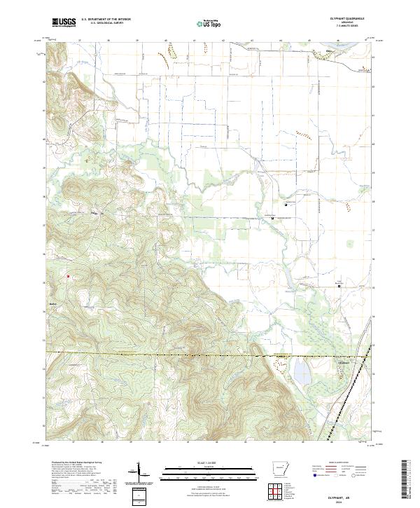
2024 Map of Olyphant
USGS Topo · Published 2024About this map
Olyphant and Thida anchor a landscape defined by the intersection of the White River bottomlands and the rising elevations of the southern Ozark foothills. This modern survey illustrates the persistent rural settlement patterns of Independence Co and Jackson Co, where family names are preserved in landmarks like Sanders Cem, Hindman Cem, and Lone Beech Cem. The topography is shaped by a complex network of wetlands and waterways, including Departee Creek, Lake Whitstine, and the oxbow-influenced Grassy Lake.
Find a feature on this map
60 named features on this map. Tap any name to fly to it.
Don’t see what you’re looking for? This feature index may not catch every label — zoom into the map to look around manually.
Map Details
Editions of this 2024 Olyphant Map
This is the sole edition of this map. No revisions or reprints were ever made.
Other maps of this area

1890 · Batesville
USGS Topo · 1:125,000

1891 · Batesville
USGS Topo · 1:125,000

1935 · Newport
USGS Topo · 1:62,500

1935 · Augusta
USGS Topo · 1:62,500

1935 · Bald Knob
USGS Topo · 1:62,500

1942 · Salado
USGS Topo · 1:31,680

1953 · Memphis
USGS Topo · 1:250,000

1956 · Memphis
USGS Topo · 1:250,000
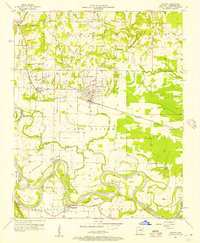
1956 · Newark
USGS Topo · 1:24,000

1957 · Augusta
USGS Topo · 1:62,500