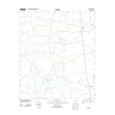
2012 Map of Oma
USGS Topo · Published 2012About this map
Oma and Sontag anchor this rural Mississippi landscape, where a dense network of creeks and branches defines the local geography. The area is characterized by family-named roads and landmarks, such as Oma Sugar Farm Rd and Fair Hill Cem, reflecting a deeply rooted community history. Waterways like Bahala Cr and Saddlebags Cr snake through the terrain, while smaller tributaries including Little Bahala Cr and Old Spring Br drain the timberlands and farms. To the east, Wanilla sits along the road network near the southern reach of Bear Cr. This survey provides a clear view of the transition between small settlements and the surrounding agricultural tracts, including named locales like Tryus and the shoreline of Cammack- Young Lake in the northeast corner.
Find a feature on this map
71 named features on this map. Tap any name to fly to it.
Don’t see what you’re looking for? This feature index may not catch every label — zoom into the map to look around manually.
Map Details
Editions of this 2012 Oma Map
This is the sole edition of this map. No revisions or reprints were ever made.
Other maps of this area

1953 · Natchez
USGS Topo · 1:250,000

1956 · Natchez
USGS Topo · 1:250,000

1959 · Natchez
USGS Topo · 1:250,000

1963 · Shady Grove
USGS Topo · 1:24,000

1970 · Monticello
USGS Topo · 1:24,000

1970 · Nola
USGS Topo · 1:24,000

1971 · Schley
USGS Topo · 1:24,000
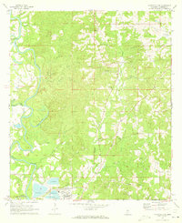
1971 · Monticello NE
USGS Topo · 1:24,000

1971 · Oma
USGS Topo · 1:24,000
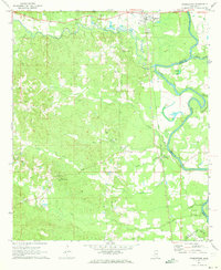
1971 · Georgetown
USGS Topo · 1:24,000