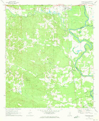
1971 Map of Georgetown
USGS Topo · Published 1973About this map
The Pearl River meanders along the eastern edge of this landscape, forming the natural border between Copiah and Simpson counties. In the northeast, Georgetown serves as a local hub at the confluence of the Pearl and the Strong River. Further south, the settlement of Rockport sits near a large bend in the river, connected by the Gulf Mobile and Ohio railroad corridor that runs north-to-south.
Find a feature on this map
34 named features on this map. Tap any name to fly to it.
Don’t see what you’re looking for? This feature index may not catch every label — zoom into the map to look around manually.
Map Details
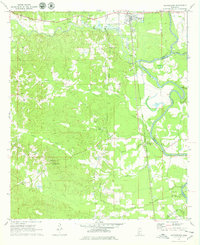
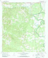
Editions of this 1971 Georgetown Map
3 editions found
Other maps of this area

1953 · Natchez
USGS Topo · 1:250,000

1956 · Natchez
USGS Topo · 1:250,000

1959 · Natchez
USGS Topo · 1:250,000
1963 · Crystal Springs
USGS Topo · 1:24,000

1963 · Shady Grove
USGS Topo · 1:24,000
1970 · Hopewell
USGS Topo · 1:24,000
1970 · Harrisville
USGS Topo · 1:24,000

1971 · Schley
USGS Topo · 1:24,000
1971 · Monticello NE
USGS Topo · 1:24,000

1971 · Oma
USGS Topo · 1:24,000