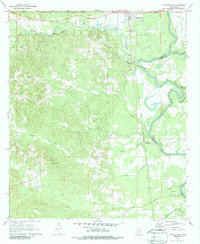
1971 Map of Georgetown
USGS Topo · Published 1988About this map
Pearl River meanders along the eastern edge of this landscape, defining the border between Copiah and Simpson counties as it flows past the settlement of Georgetown. The early 1970s topography reveals a rural Mississippi interior marked by an intricate network of small streams like Steel Creek and Copiah Creek that cut through the undulating Keys terrain. The Gulf Mobile and Ohio railroad corridor provides a north-south transit spine, connecting the village of Rockport to the wider region.
Find a feature on this map
29 named features on this map. Tap any name to fly to it.
Don’t see what you’re looking for? This feature index may not catch every label — zoom into the map to look around manually.
Map Details
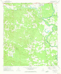
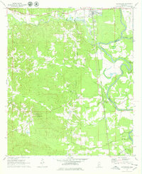
Editions of this 1971 Georgetown Map
3 editions found
Other maps of this area

1953 · Natchez
USGS Topo · 1:250,000

1956 · Natchez
USGS Topo · 1:250,000

1959 · Natchez
USGS Topo · 1:250,000
1963 · Crystal Springs
USGS Topo · 1:24,000

1963 · Shady Grove
USGS Topo · 1:24,000
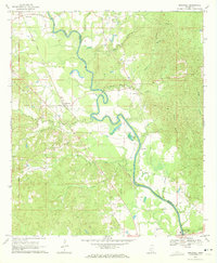
1970 · Hopewell
USGS Topo · 1:24,000
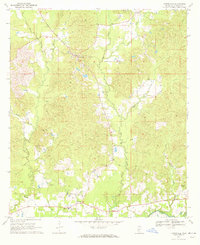
1970 · Harrisville
USGS Topo · 1:24,000

1971 · Schley
USGS Topo · 1:24,000
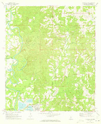
1971 · Monticello NE
USGS Topo · 1:24,000

1971 · Oma
USGS Topo · 1:24,000