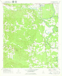
1971 Map of Georgetown
USGS Topo · Published 1979About this map
The confluence of the Strong River and Pearl River dominates the eastern edge of this Copiah County landscape, where the Gulf Mobile and Ohio railroad corridor follows the river valley south through Georgetown and Rockport. The topography is defined by a dense network of drainages including Keys Creek and Indian Creek, punctuated by industrial activity at several Gravel Pits north of town. For local historians, the sheet preserves the locations of numerous rural institutions such as New Hope Ch, Providence Ch, and several family burial grounds like Lily Mae Cem and Lowe Cem. A notable geographic marker is the Old Treaty Ind Bdy line near the southern margin, cutting across the terrain toward the Pearl Valley Ch. From the Ashley Lookout Tower, one can trace the transition from the river bottomlands to the elevated ridges of the Mississippi interior.
Find a feature on this map
31 named features on this map. Tap any name to fly to it.
Don’t see what you’re looking for? This feature index may not catch every label — zoom into the map to look around manually.
Map Details
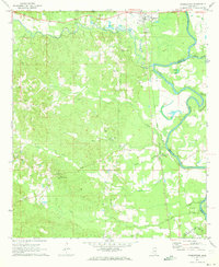
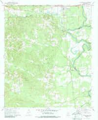
Editions of this 1971 Georgetown Map
3 editions found
Other maps of this area

1953 · Natchez
USGS Topo · 1:250,000

1956 · Natchez
USGS Topo · 1:250,000

1959 · Natchez
USGS Topo · 1:250,000
1963 · Crystal Springs
USGS Topo · 1:24,000

1963 · Shady Grove
USGS Topo · 1:24,000
1970 · Hopewell
USGS Topo · 1:24,000
1970 · Harrisville
USGS Topo · 1:24,000

1971 · Schley
USGS Topo · 1:24,000
1971 · Monticello NE
USGS Topo · 1:24,000

1971 · Oma
USGS Topo · 1:24,000