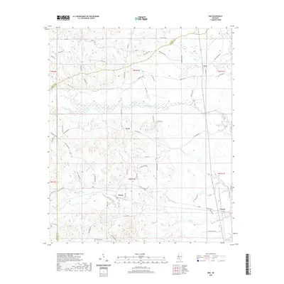
2020 Map of Oma
USGS Topo · Published 2020About this map
Oma and the surrounding timberlands of Lawrence and Copiah counties appear here during a period of modern rural development. The landscape is defined by a dense network of watercourses, including the prominent Bahala Creek and Saddlebags Cr, which drain into the Pearl River basin just to the east. Small communities such as Sontag, Tryus, and Wanilla serve as local hubs, connected by a web of historic routes like Monticello Rd and Old Hwy 27.
Find a feature on this map
74 named features on this map. Tap any name to fly to it.
Don’t see what you’re looking for? This feature index may not catch every label — zoom into the map to look around manually.
Map Details
Editions of this 2020 Oma Map
This is the sole edition of this map. No revisions or reprints were ever made.
Other maps of this area

1953 · Natchez
USGS Topo · 1:250,000

1956 · Natchez
USGS Topo · 1:250,000

1959 · Natchez
USGS Topo · 1:250,000

1963 · Shady Grove
USGS Topo · 1:24,000

1970 · Monticello
USGS Topo · 1:24,000

1970 · Nola
USGS Topo · 1:24,000

1971 · Schley
USGS Topo · 1:24,000
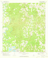
1971 · Monticello NE
USGS Topo · 1:24,000

1971 · Oma
USGS Topo · 1:24,000
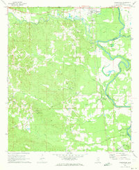
1971 · Georgetown
USGS Topo · 1:24,000