
1971 Map of Oma
USGS Topo · Published 1973About this map
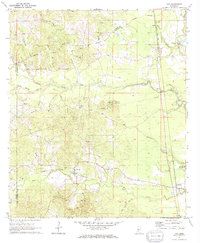
The Pearl River valley in the early 1970s is defined by a dense network of timbered ridges and creek bottoms where the borders of Lawrence, Copiah, and Lincoln Counties meet. The Gulf Mobile and Ohio railroad corridor anchors the small settlements of Oma and Wanilla, while the winding course of Bahala Creek and its tributary Little Bahala Creek carve through the center of the quadrangle. This era shows a landscape transitioning between traditional agrarian life and industrial extraction, evidenced by numerous Gravel Pits scattered near the rail lines.
Find a feature on this map
35 named features on this map. Tap any name to fly to it.
Don’t see what you’re looking for? This feature index may not catch every label — zoom into the map to look around manually.
Map Details
Editions of this 1971 Oma Map
2 editions found
Other maps of this area

1953 · Natchez
USGS Topo · 1:250,000

1956 · Natchez
USGS Topo · 1:250,000

1959 · Natchez
USGS Topo · 1:250,000

1963 · Shady Grove
USGS Topo · 1:24,000

1970 · Monticello
USGS Topo · 1:24,000

1970 · Nola
USGS Topo · 1:24,000

1971 · Schley
USGS Topo · 1:24,000
1971 · Monticello NE
USGS Topo · 1:24,000
1971 · Georgetown
USGS Topo · 1:24,000

1972 · Fair Oak Springs
USGS Topo · 1:24,000