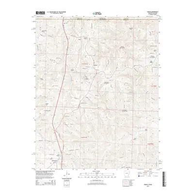
2014 Map of Omaha
USGS Topo · Published 2014About this map
Omaha and the surrounding Ozark landscape are defined by a complex network of ridges and hollows along the state line between Arkansas and Missouri. The settlement of Cricket is positioned near the winding course of Cricket Cr, while the village of Burlington sits further south near the Burlington Lookout Tower. This 2014 survey reveals a transition from these historic settlements to a terrain carved by Cranenest Cr and Barren Fork. Numerous family-named landmarks such as Lee Hollow, McGill Hollow, and Keys Hollow point to a deep-rooted local genealogy tied to specific drainages and ridges. The map illustrates how transportation routes like Old Hwy 65 N follow the natural contours of the land, connecting smaller locales like Crest and New Hope through a landscape of distinctive features like Cloverdale Ridge and Blowing Spring Hollow.
Find a feature on this map
89 named features on this map. Tap any name to fly to it.
Don’t see what you’re looking for? This feature index may not catch every label — zoom into the map to look around manually.
Map Details
Editions of this 2014 Omaha Map
This is the sole edition of this map. No revisions or reprints were ever made.
Other maps of this area

1904 · Harrison
USGS Topo · 1:125,000

1905 · Harrison
USGS Topo · 1:125,000

1907 · Forsyth
USGS Topo · 1:125,000

1945 · Harrison
USGS Topo · 1:250,000

1949 · Harrison
USGS Topo · 1:250,000

1954 · Harrison
USGS Topo · 1:250,000

1956 · Table Rock Dam
USGS Topo · 1:24,000
1956 · Mincy
USGS Topo · 1:24,000
1956 · Hollister
USGS Topo · 1:24,000

1958 · Harrison
USGS Topo · 1:250,000