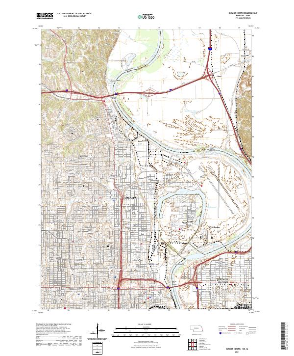
2021 Map of Omaha North
USGS Topo · Published 2021About this map
The Missouri River carves a winding path between Omaha, Nebraska, and Council Bluffs, Iowa, defining the industrial and civic core of these neighboring river cities. Extensive infrastructure projects dominate the landscape, from the sprawling grounds of Eppley Airfield and the complex interchanges of modern expressways to the historic crossings of the Mormon Bridge and Ak Sar Ben Bridge. The map reveals a dense concentration of cultural and educational institutions, including Creighton University, Clarkson College, and the University of Nebraska Medical Center.
Find a feature on this map
199 named features on this map. Tap any name to fly to it.
Don’t see what you’re looking for? This feature index may not catch every label — zoom into the map to look around manually.
Map Details
Editions of this 2021 Omaha North Map
This is the sole edition of this map. No revisions or reprints were ever made.
Other maps of this area

1893 · Omaha
USGS Topo · 1:62,500

1893 · Fremont
USGS Topo · 1:125,000

1896 · Fremont
USGS Topo · 1:125,000

1954 · Omaha
USGS Topo · 1:250,000

1955 · Fremont
USGS Topo · 1:250,000

1956 · Ralston
USGS Topo · 1:24,000

1956 · Irvington
USGS Topo · 1:24,000

1956 · Council Bluffs North
USGS Topo · 1:24,000

1956 · Omaha North
USGS Topo · 1:24,000

1956 · Council Bluffs South
USGS Topo · 1:24,000