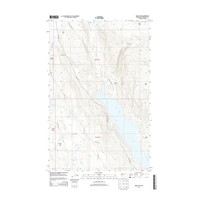
2014 Map of Omak Lake
USGS Topo · Published 2014About this map
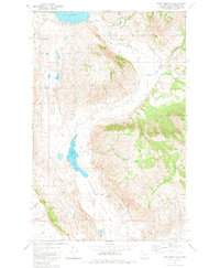
The Colville Indian Reservation landscape is defined by the massive reach of Omak Lake, which dominates this 2014 topographic study of Okanogan County. The rugged interior is marked by significant topographical relief, from the heights of Eagle Cliffs to the low-lying West Basin and Deep Canyon. This area reflects a remote ranching and agricultural heritage, centered on locations like Saint Marys Farm and the distinctively named Matthew Bill Basin.
Find a feature on this map
32 named features on this map. Tap any name to fly to it.
Don’t see what you’re looking for? This feature index may not catch every label — zoom into the map to look around manually.
Map Details
Editions of this 2014 Omak Lake Map
This is the sole edition of this map. No revisions or reprints were ever made.
Other maps of this area
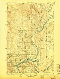
1905 · Okanogan
USGS Topo · 1:125,000
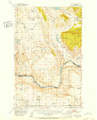
1950 · Boot Mtn
USGS Topo · 1:62,500
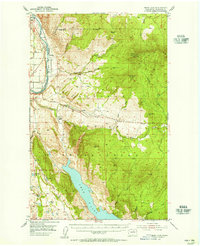
1953 · Omak Lake
USGS Topo · 1:62,500

1954 · Okanogan
USGS Topo · 1:250,000
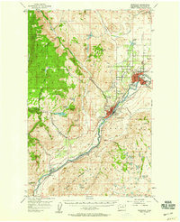
1957 · Okanogan
USGS Topo · 1:62,500
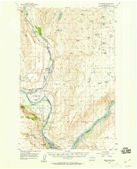
1957 · Bridgeport
USGS Topo · 1:62,500

1958 · Okanogan
USGS Topo · 1:250,000
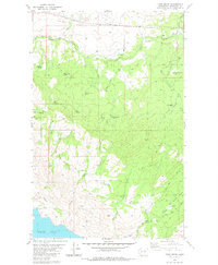
1980 · Camp Seven
USGS Topo · 1:24,000
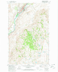
1980 · Okanogan
USGS Topo · 1:24,000
1980 · Boot Mountain
USGS Topo · 1:24,000