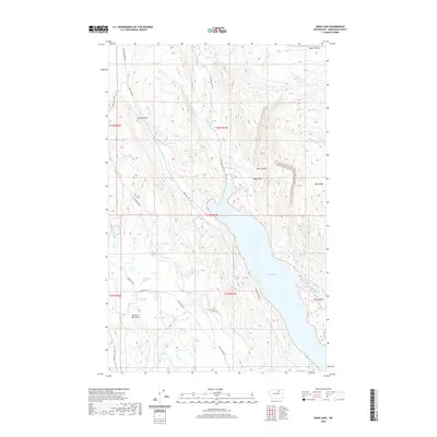
2020 Map of Omak Lake
USGS Topo · Published 2020About this map
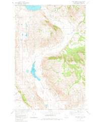
Omak Lake dominates the central topography of this Okanogan County landscape, its western shores traced by Columbia River Rd and the northern reach accessed via Omak Lake Rd. The surrounding terrain is characterized by high basins and distinct geological features, including the Eagle Cliffs rising above the northern shoreline and the high Antoine Pass to the northwest. Local water sources are plentiful but often isolated, ranging from the dramatic Mission Falls on Omak Cr to several small, scattered bodies of water like Mirror Lake, Stewart Lake, and the uniquely named Stink Lake.
Find a feature on this map
33 named features on this map. Tap any name to fly to it.
Don’t see what you’re looking for? This feature index may not catch every label — zoom into the map to look around manually.
Map Details
Editions of this 2020 Omak Lake Map
This is the sole edition of this map. No revisions or reprints were ever made.
Other maps of this area
1905 · Okanogan
USGS Topo · 1:125,000
1950 · Boot Mtn
USGS Topo · 1:62,500
1953 · Omak Lake
USGS Topo · 1:62,500

1954 · Okanogan
USGS Topo · 1:250,000
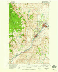
1957 · Okanogan
USGS Topo · 1:62,500
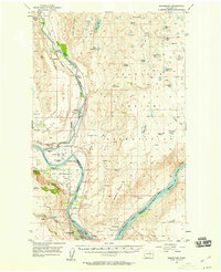
1957 · Bridgeport
USGS Topo · 1:62,500

1958 · Okanogan
USGS Topo · 1:250,000
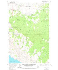
1980 · Camp Seven
USGS Topo · 1:24,000
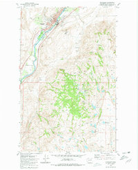
1980 · Okanogan
USGS Topo · 1:24,000
1980 · Boot Mountain
USGS Topo · 1:24,000