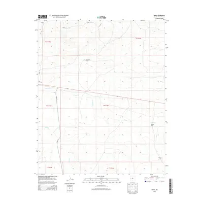
2013 Map of Omega
USGS Topo · Published 2013About this map
The high-desert landscape of Catron County is anchored by the small settlement of Omega, positioned where the foothills transition toward the drainage of San Ignacio Cr. This 2013 survey illustrates the sparse, high-altitude ranching and residential patterns of western New Mexico, with localized names like Hickey and Bates marking the landscape. The drainage network is central to the area's geography, featuring the seasonal courses of Rito Cr and Mangas Cr, alongside deep topographic depressions such as McAllister Draw and Muncie Draw. The road system, including Omega Rd and Coroad A95, reveals how modern transport follows the natural contours of the basin-and-range terrain, connecting these isolated outposts to the wider region during the early 21st century.
Find a feature on this map
21 named features on this map. Tap any name to fly to it.
Don’t see what you’re looking for? This feature index may not catch every label — zoom into the map to look around manually.
Map Details
Editions of this 2013 Omega Map
This is the sole edition of this map. No revisions or reprints were ever made.
Other maps of this area

1954 · Saint Johns
USGS Topo · 1:250,000

1957 · Saint Johns
USGS Topo · 1:250,000

1958 · Saint Johns
USGS Topo · 1:250,000

1962 · Saint Johns
USGS Topo · 1:250,000
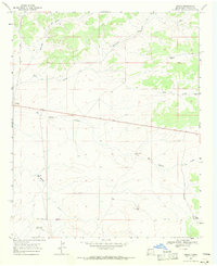
1967 · Omega
USGS Topo · 1:24,000
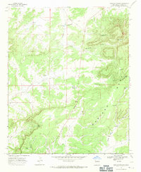
1967 · Mariano Springs
USGS Topo · 1:24,000
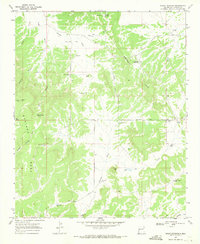
1967 · Adams Diggings
USGS Topo · 1:24,000
1967 · Blue Hills
USGS Topo · 1:24,000
1967 · Pie Town
USGS Topo · 1:24,000
1967 · Quemado
USGS Topo · 1:24,000