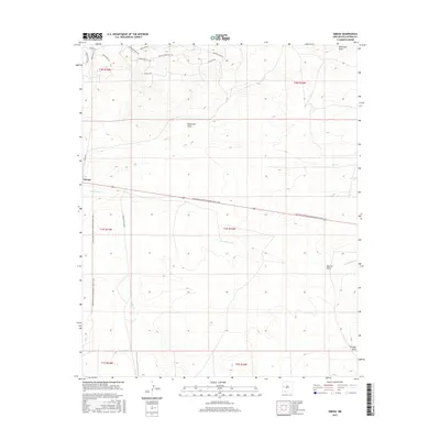
2017 Map of Omega
USGS Topo · Published 2017About this map
Omega serves as the primary point of reference in this high-desert landscape of western New Mexico, where the high-altitude terrain is defined by a network of seasonal watercourses and ridges. The Continental Divide National Scenic Trail winds through the center of the region, crossing over several significant drainages including San Ignacio Cr and McAllister Draw. The presence of numerous equestrian-themed road names in the northern sections, such as Golden Horseshoe Trl and Stallion Ln, suggests a modern pattern of rural residential development geared toward ranching or recreational land use. This 2017 survey by the U.S. Geological Survey provides a precise view of how human movement, represented by Catron Co Rd A095, follows the natural contours of the land near the headwaters of Mangas Cr.
Find a feature on this map
26 named features on this map. Tap any name to fly to it.
Don’t see what you’re looking for? This feature index may not catch every label — zoom into the map to look around manually.
Map Details
Editions of this 2017 Omega Map
This is the sole edition of this map. No revisions or reprints were ever made.
Other maps of this area

1954 · Saint Johns
USGS Topo · 1:250,000

1957 · Saint Johns
USGS Topo · 1:250,000

1958 · Saint Johns
USGS Topo · 1:250,000

1962 · Saint Johns
USGS Topo · 1:250,000
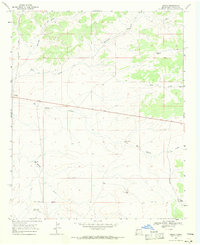
1967 · Omega
USGS Topo · 1:24,000
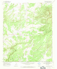
1967 · Mariano Springs
USGS Topo · 1:24,000
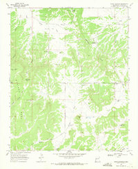
1967 · Adams Diggings
USGS Topo · 1:24,000
1967 · Blue Hills
USGS Topo · 1:24,000
1967 · Pie Town
USGS Topo · 1:24,000
1967 · Quemado
USGS Topo · 1:24,000