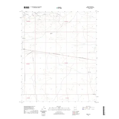
2020 Map of Omega
USGS Topo · Published 2020About this map
Omega is situated at a high-elevation crossroads where modern development meets the vast topography of Catron County. The settlement lies along 60, a primary east-west corridor that bisects the landscape alongside the Continental Divide National Scenic Trail. The drainage patterns of the area are defined by several watercourses including San Ignacio Cr, Mangas Cr, and Rito Cr, which carve through the terrain and create distinctive landmarks like McAllister Draw and Muncie Draw.
Find a feature on this map
29 named features on this map. Tap any name to fly to it.
Don’t see what you’re looking for? This feature index may not catch every label — zoom into the map to look around manually.
Map Details
Editions of this 2020 Omega Map
This is the sole edition of this map. No revisions or reprints were ever made.
Other maps of this area
1954 · Saint Johns
USGS Topo · 1:250,000
1957 · Saint Johns
USGS Topo · 1:250,000
1958 · Saint Johns
USGS Topo · 1:250,000
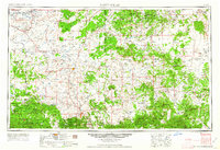
1962 · Saint Johns
USGS Topo · 1:250,000
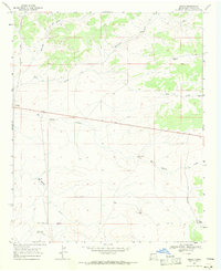
1967 · Omega
USGS Topo · 1:24,000
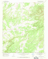
1967 · Mariano Springs
USGS Topo · 1:24,000
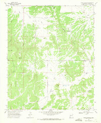
1967 · Adams Diggings
USGS Topo · 1:24,000
1967 · Blue Hills
USGS Topo · 1:24,000
1967 · Pie Town
USGS Topo · 1:24,000
1967 · Quemado
USGS Topo · 1:24,000