
2016 Map of Omega
USGS Topo · Published 2016About this map
The confluence of the Banister River, Dan River, and Hyco River defines this region of Halifax County, where the landscape transitions into the waters of the John H Kerr Reservoir. Smaller communities like Omega, Wolf Trap, and Riverdale are linked by a network of rural routes such as Wolf Trap Rd and Boyd s Ferry Trl, reflecting a settlement pattern deeply tied to the river valleys. The presence of numerous burial grounds, including Five Forks Cem, Ebenezer Cem, and Grace Cem, offers significant detail for genealogical research in this part of Southern Virginia.
Find a feature on this map
73 named features on this map. Tap any name to fly to it.
Don’t see what you’re looking for? This feature index may not catch every label — zoom into the map to look around manually.
Map Details
Editions of this 2016 Omega Map
This is the sole edition of this map. No revisions or reprints were ever made.
Other maps of this area
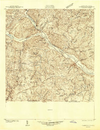
1941 · Clarksville
USGS Topo · 1:48,000
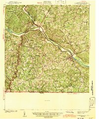
1943 · Clarksville
USGS Topo · 1:62,500
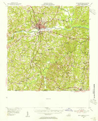
1953 · South Boston
USGS Topo · 1:62,500

1953 · Greensboro
USGS Topo · 1:250,000

1954 · Greensboro
USGS Topo · 1:250,000
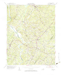
1954 · Clover
USGS Topo · 1:62,500
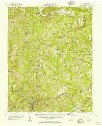
1954 · Halifax
USGS Topo · 1:62,500
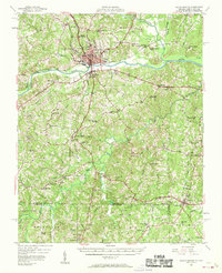
1957 · South Boston
USGS Topo · 1:62,500
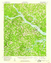
1957 · Clarksville
USGS Topo · 1:62,500

1962 · Greensboro
USGS Topo · 1:250,000