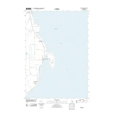
2011 Map of Omena
USGS Topo · Published 2011About this map
The eastern shoreline of Leelanau Peninsula, bordering the expansive waters of Lake Michigan, is defined here by a series of points and protected bays. Omena Bay and Northport Bay anchor the coastline, providing natural harbors that supported the growth of small shoreline communities. In Omena, the concentration of local institutions like the Omena Post Office and Omena Marina suggests a long-standing maritime and civic hub, while the presence of the Omena Presbyterian Cemetery and Omena Cemetery provides significant points of interest for genealogists.
Find a feature on this map
41 named features on this map. Tap any name to fly to it.
Don’t see what you’re looking for? This feature index may not catch every label — zoom into the map to look around manually.
Map Details
Editions of this 2011 Omena Map
This is the sole edition of this map. No revisions or reprints were ever made.
Other maps of this area

1954 · Central Lake
USGS Topo · 1:62,500

1954 · Traverse City
USGS Topo · 1:250,000

1955 · Cheboygan
USGS Topo · 1:250,000

1957 · Traverse City
USGS Topo · 1:62,500

1957 · Northport
USGS Topo · 1:62,500

1957 · Elk Rapids
USGS Topo · 1:62,500

1958 · Cheboygan
USGS Topo · 1:250,000

1958 · Traverse City
USGS Topo · 1:250,000

1983 · Northport
USGS Topo · 1:25,000

1983 · Omena
USGS Topo · 1:24,000