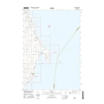
2017 Map of Omena
USGS Topo · Published 2017About this map
Omena Bay and its surrounding peninsulas define this portion of the Leelanau Peninsula, where the landscape transitions between the protected waters of Northport Bay and the open expanse of Grand Traverse Bay. The coastline is punctuated by historic settlements and cultural markers, notably at Peshawbestown and Ahgosatown. Genealogy and local history are preserved at the Immaculate Conception Catholic Cem and the Omena Presbyterian Cem, both located near the water’s edge. Significant geological features such as Omena Point and the inland Mougeys Lake suggest a landscape shaped by glacial activity. The road network, including N W Bay Shore Dr, follows the contours of the shoreline, connecting these small communities while leaving the interior terrain of ridges and low-lying wetlands largely intact. This 2017 survey provides a clear view of the established residential and religious sites along the eastern shore of the peninsula.
Find a feature on this map
44 named features on this map. Tap any name to fly to it.
Don’t see what you’re looking for? This feature index may not catch every label — zoom into the map to look around manually.
Map Details
Editions of this 2017 Omena Map
This is the sole edition of this map. No revisions or reprints were ever made.
Other maps of this area

1954 · Central Lake
USGS Topo · 1:62,500

1954 · Traverse City
USGS Topo · 1:250,000

1955 · Cheboygan
USGS Topo · 1:250,000

1957 · Traverse City
USGS Topo · 1:62,500

1957 · Northport
USGS Topo · 1:62,500

1957 · Elk Rapids
USGS Topo · 1:62,500

1958 · Cheboygan
USGS Topo · 1:250,000

1958 · Traverse City
USGS Topo · 1:250,000

1983 · Northport
USGS Topo · 1:25,000

1983 · Omena
USGS Topo · 1:24,000