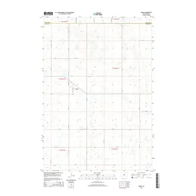
2015 Map of Onaka
USGS Topo · Published 2015About this map
Onaka serves as the central point of this prairie landscape, situated near the intersection of Main St and Church Rd. The township sits just south of the border between Edmunds Co and Faulk Co, illustrating the rigid grid-based settlement pattern typical of the Great Plains. This 2015 update reflects the enduring geometry of section lines, where roads like 151st St and 337th Ave define the agricultural blocks of the region. The map reveals a high density of small depressional wetlands and prairie potholes scattered across the terrain, a characteristic feature of the glaciated plains that dictates local land use and farm boundaries. This survey provides a clear view of the modest infrastructure and isolated homestead locations that define rural life in northern Faulk County.
Find a feature on this map
25 named features on this map. Tap any name to fly to it.
Don’t see what you’re looking for? This feature index may not catch every label — zoom into the map to look around manually.
Map Details
Editions of this 2015 Onaka Map
This is the sole edition of this map. No revisions or reprints were ever made.
Other maps of this area
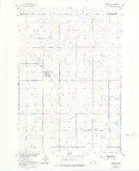
1950 · Onaka
USGS Topo · 1:24,000
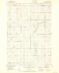
1951 · Clark Lake
USGS Topo · 1:24,000
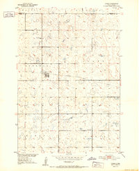
1952 · Onaka
USGS Topo · 1:24,000
1952 · Burkmere
USGS Topo · 1:24,000
1952 · Onaka SW
USGS Topo · 1:24,000
1954 · Aberdeen
USGS Topo · 1:250,000
1956 · Aberdeen
USGS Topo · 1:250,000
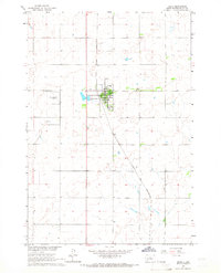
1965 · Onaka
USGS Topo · 1:24,000
1974 · Bowdle SE
USGS Topo · 1:24,000
1974 · Roscoe SW
USGS Topo · 1:24,000