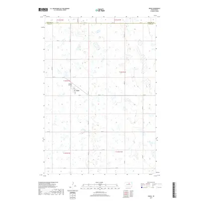
2017 Map of Onaka
USGS Topo · Published 2017About this map
Onaka serves as the central hub of this prairie landscape in Faulk County, positioned just south of the border between Edmunds Co and Faulk Co. This rural settlement is anchored by the Saint John the Baptist Onaka Cem, which sits northwest of the town center near the intersection of 1st Ave and Main St. The surrounding terrain is defined by a grid of agricultural section roads including 148th St and 337th Ave, punctuated by numerous small prairie potholes and wetlands typical of the region. The map captures a moment of modern rural organization, where family farms are linked by a network of numbered routes such as 152nd St and Co Rd 4.
Find a feature on this map
26 named features on this map. Tap any name to fly to it.
Don’t see what you’re looking for? This feature index may not catch every label — zoom into the map to look around manually.
Map Details
Editions of this 2017 Onaka Map
This is the sole edition of this map. No revisions or reprints were ever made.
Other maps of this area
1950 · Onaka
USGS Topo · 1:24,000
1951 · Clark Lake
USGS Topo · 1:24,000
1952 · Onaka
USGS Topo · 1:24,000
1952 · Burkmere
USGS Topo · 1:24,000
1952 · Onaka SW
USGS Topo · 1:24,000
1954 · Aberdeen
USGS Topo · 1:250,000
1956 · Aberdeen
USGS Topo · 1:250,000
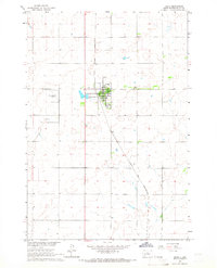
1965 · Onaka
USGS Topo · 1:24,000
1974 · Bowdle SE
USGS Topo · 1:24,000
1974 · Roscoe SW
USGS Topo · 1:24,000