2021 Map of Onaka
USGS Topo · Published 2021About this map
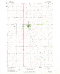
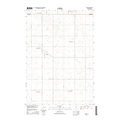
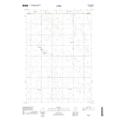
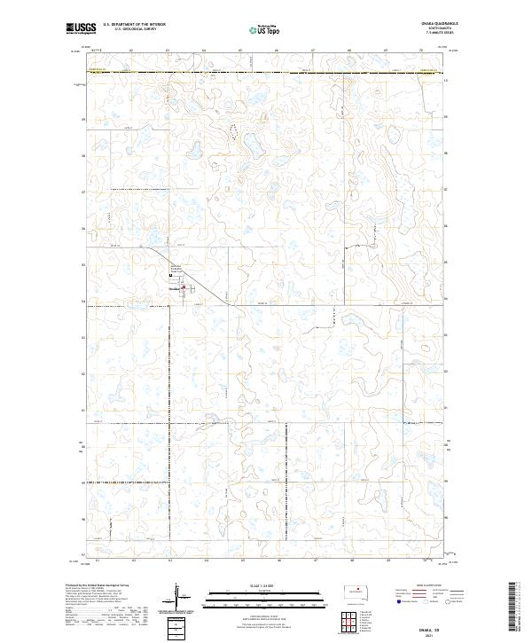
Onaka serves as the central point of interest in this 2021 survey of the northern Great Plains, positioned just south of the Edmunds Co Faulk Co line. The community is defined by its simple grid of streets, including Main St and 1st Ave, which connect the small residential and agricultural hub to the surrounding rural landscape. Local heritage and community life are grounded in the presence of Saint John the Baptist church and the nearby Onaka Cem, both located on the northwestern edge of the settlement.
Find a feature on this map
27 named features on this map. Tap any name to fly to it.
Don’t see what you’re looking for? This feature index may not catch every label — zoom into the map to look around manually.
Map Details
Editions of this 2021 Onaka Map
This is the sole edition of this map. No revisions or reprints were ever made.
Historical Maps of Onaka Through Time
7 maps found