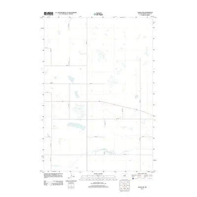
2012 Map of Onaka SW
USGS Topo · Published 2012About this map
S Fork Snake Cr meanders across this rural expanse of Faulk County, defining a landscape dominated by prairie wetlands and seasonal water bodies. The terrain is marked by significant features such as Ford Lake and Latham Lake, which are characteristic of the pothole region's hydrography. Settled life in this part of South Dakota is represented by the Oakland Cem, a solitary landmark situated along a grid of section-line roads including 160th St and 334th Ave. This survey captures the region just after the first decade of the millennium, showing a purely agricultural layout where movement is dictated by these established corridors such as 164th St. The area remains sparsely populated, with small basins and drainage patterns of the S Fork Snake Cr watershed providing the primary geographical texture.
Find a feature on this map
19 named features on this map. Tap any name to fly to it.
Don’t see what you’re looking for? This feature index may not catch every label — zoom into the map to look around manually.
Map Details
Editions of this 2012 Onaka SW Map
This is the sole edition of this map. No revisions or reprints were ever made.
Other maps of this area

1950 · Rezac Lake NE
USGS Topo · 1:24,000

1950 · Onaka
USGS Topo · 1:24,000

1951 · Rezac Lake NE
USGS Topo · 1:24,000

1951 · Clark Lake
USGS Topo · 1:24,000

1951 · Rezac Lake NW
USGS Topo · 1:24,000

1952 · Onaka
USGS Topo · 1:24,000

1952 · Burkmere
USGS Topo · 1:24,000

1952 · Onaka SW
USGS Topo · 1:24,000

1953 · Huron
USGS Topo · 1:250,000

1954 · Aberdeen
USGS Topo · 1:250,000