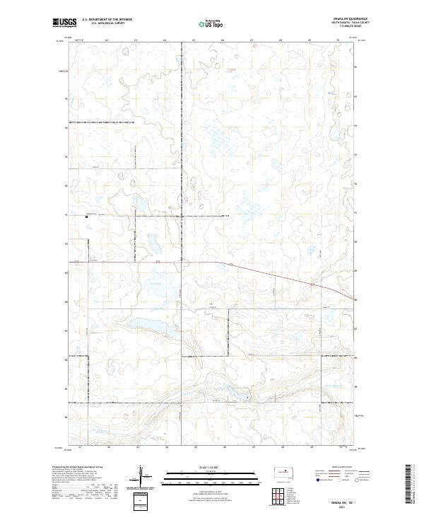
2021 Map of Onaka SW
USGS Topo · Published 2021About this map
Oakland Cem serves as a significant local landmark in this prairie landscape within Faulk County. The terrain is characterized by numerous small glacial wetlands and depressions, with larger bodies of water such as Ford Lake and Latham Lake providing focal points for the township. The drainage of the area is defined by the winding course of the S Fork Snake Cr, which cuts through the southern sections. This 2021 survey illustrates a highly structured grid of section lines and gravel roads, including Co Rd 5-2 and several numeric avenues such as 336th Ave. The sparse distribution of named sites reflects the enduring rural character of this agricultural region, where local history is largely preserved through isolated cemeteries and natural water features rather than concentrated settlements.
Find a feature on this map
18 named features on this map. Tap any name to fly to it.
Don’t see what you’re looking for? This feature index may not catch every label — zoom into the map to look around manually.
Map Details
Editions of this 2021 Onaka SW Map
This is the sole edition of this map. No revisions or reprints were ever made.
Other maps of this area

1950 · Rezac Lake NE
USGS Topo · 1:24,000

1950 · Onaka
USGS Topo · 1:24,000

1951 · Rezac Lake NE
USGS Topo · 1:24,000

1951 · Clark Lake
USGS Topo · 1:24,000

1951 · Rezac Lake NW
USGS Topo · 1:24,000

1952 · Onaka
USGS Topo · 1:24,000

1952 · Burkmere
USGS Topo · 1:24,000

1952 · Onaka SW
USGS Topo · 1:24,000

1953 · Huron
USGS Topo · 1:250,000

1954 · Aberdeen
USGS Topo · 1:250,000