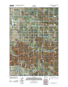
2011 Map of Onehorse Slough
USGS Topo · Published 2011About this map
Onehorse Slough winds through this Linn County landscape, where the southern boundary is defined by the South Santiam River and the Lebanon Santiam Canal. The area is characterized by a network of drainage creeks and managed water bodies, including industrial features like the Western Log Pond and Snow Peak Log Pond near Griggs. These ponds and the surrounding road network, such as Snow Peak Dr, suggest a landscape historically tied to timber processing and rural agriculture.
Find a feature on this map
72 named features on this map. Tap any name to fly to it.
Don’t see what you’re looking for? This feature index may not catch every label — zoom into the map to look around manually.
Map Details
Editions of this 2011 Onehorse Slough Map
This is the sole edition of this map. No revisions or reprints were ever made.
Other maps of this area

1911 · Brownsville
USGS Topo · 1:31,680

1911 · Lebanon
USGS Topo · 1:31,680

1921 · Brownsville
USGS Topo · 1:62,500

1921 · Lebanon
USGS Topo · 1:62,500

1922 · Lebanon
USGS Topo · 1:48,000

1924 · Lebanon
USGS Topo · 1:62,500

1940 · Lebanon
USGS Topo · 1:62,500

1944 · Lebanon
USGS Topo · 1:62,500

1950 · Brownsville
USGS Topo · 1:62,500

1951 · Sweet Home
USGS Topo · 1:62,500