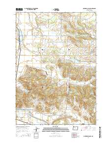
2014 Map of Onehorse Slough
USGS Topo · Published 2014About this map
Onehorse Slough winds through the foothills of the Cascade Range, providing a drainage network that defines the agricultural and timber landscape of this portion of Linn County. This 2014 survey reveals a transition from the valley floor settlements like South Lebanon and Golden Valley toward the more elevated terrain near Ridgeway Butte. The map documents the persistent timber industry infrastructure, shown through features such as the Snow Peak Log Pond and Western Log Pond.
Find a feature on this map
77 named features on this map. Tap any name to fly to it.
Don’t see what you’re looking for? This feature index may not catch every label — zoom into the map to look around manually.
Map Details
Editions of this 2014 Onehorse Slough Map
This is the sole edition of this map. No revisions or reprints were ever made.
Other maps of this area
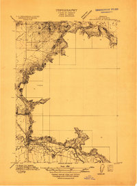
1911 · Brownsville
USGS Topo · 1:31,680
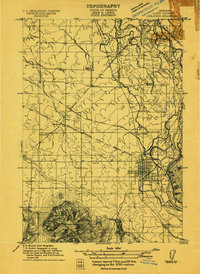
1911 · Lebanon
USGS Topo · 1:31,680
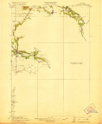
1921 · Brownsville
USGS Topo · 1:62,500
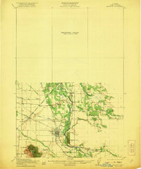
1921 · Lebanon
USGS Topo · 1:62,500
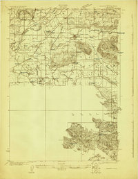
1922 · Lebanon
USGS Topo · 1:48,000
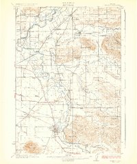
1924 · Lebanon
USGS Topo · 1:62,500
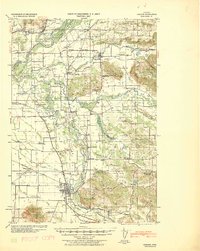
1940 · Lebanon
USGS Topo · 1:62,500
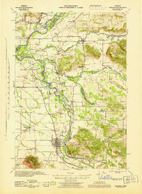
1944 · Lebanon
USGS Topo · 1:62,500
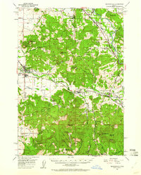
1950 · Brownsville
USGS Topo · 1:62,500
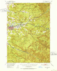
1951 · Sweet Home
USGS Topo · 1:62,500