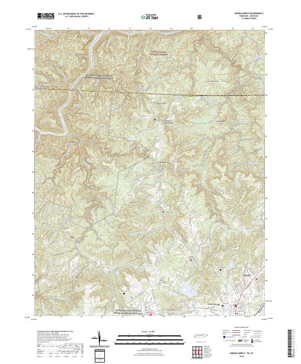
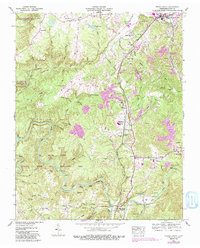
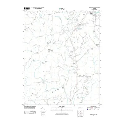
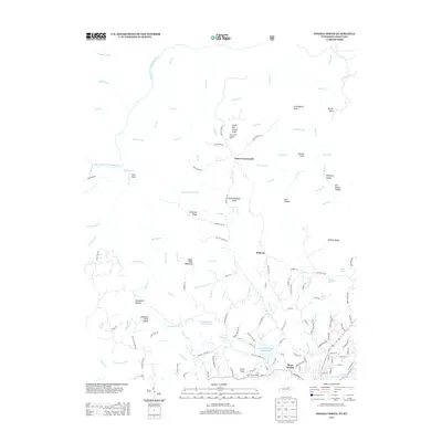
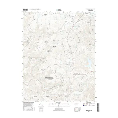
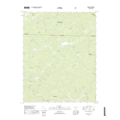
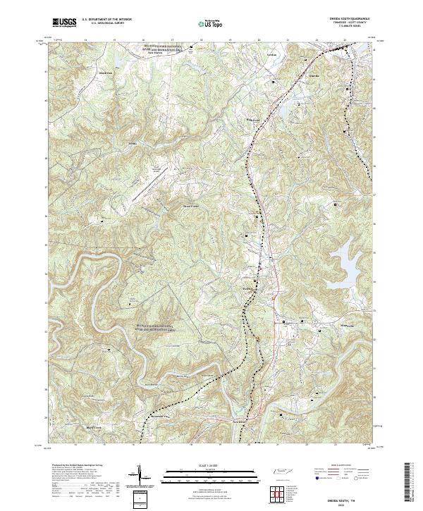
2022 Map of Oneida North
USGS Topo · Published 2022About this map
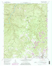
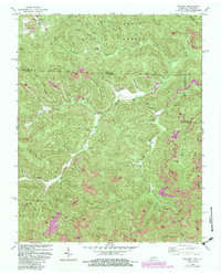
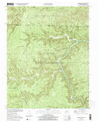
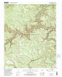
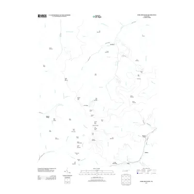
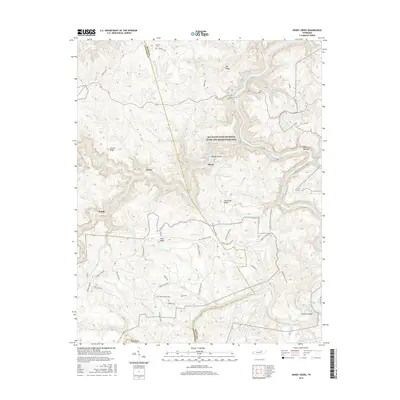
Oneida and West Oneida anchor the southeastern corner of this map, where the urban street grid meets the high ridges and deep drainages of the Cumberland Plateau. The landscape is dominated by the Daniel Boone National Forest and the Big South Fork National River and Recreation Area, which preserve the steep banks of the Big South Fork Cumberland River. Local transit and topography are intertwined, with routes like the Sheltoee Trace Trl and the Wilderness Trl traversing the plateau. Genealogists will find a cluster of family-named cemeteries and landmarks scattered across the ridges, including Coffee Cem, Marcum Kidd Cem, and the high point of Indian Head Mtn. Small settlements such as Foster Crossroads and distinct points like Little Bill Slaven Knob provide a look at the rural character of northern Scott County along the Kentucky state line.
Find a feature on this map
125 named features on this map. Tap any name to fly to it.
Don’t see what you’re looking for? This feature index may not catch every label — zoom into the map to look around manually.
Map Details
Editions of this 2022 Oneida North Map
This is the sole edition of this map. No revisions or reprints were ever made.
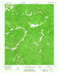
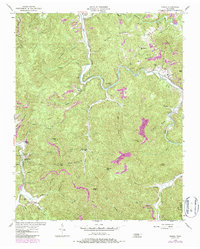
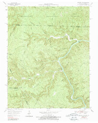
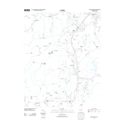
Historical Maps of Oneida Through Time
49 maps found

1935 Mages
Scott County, TN

1935 Moggasin
Scott County, TN

1936 Hogbell Gap
Scott County, TN
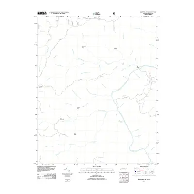
1946 Fork Mountain
Scott County, TN
1952 Fork Mountain
Scott County, TN
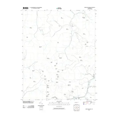
1952 Honey Creek
Scott County, TN
1952 Oneida South
Scott County, TN
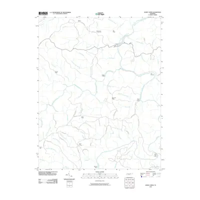
1953 Ketchen
Scott County, TN
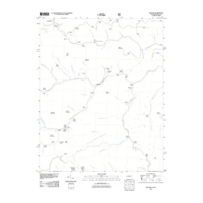
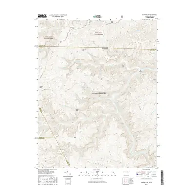
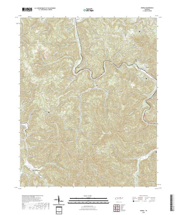
1954 Norma
Scott County, TN
1955 Barthell SW
Scott County, TN
1955 Oneida North
Scott County, TN
1980 Ketchen
Scott County, TN
2000 Barthell SW
Scott County, TN
2000 Honey Creek
Scott County, TN
2010 Barthell SW
Scott County, TN
2010 Fork Mountain
Scott County, TN
2010 Honey Creek
Scott County, TN
2010 Ketchen
Scott County, TN
2010 Norma
Scott County, TN
2010 Oneida South
Scott County, TN
2011 Oneida North
Scott County, TN
2013 Barthell SW
Scott County, TN
2013 Fork Mountain
Scott County, TN
2013 Honey Creek
Scott County, TN
2013 Ketchen
Scott County, TN
2013 Norma
Scott County, TN
2013 Oneida North
Scott County, TN
2013 Oneida South
Scott County, TN
2016 Barthell SW
Scott County, TN
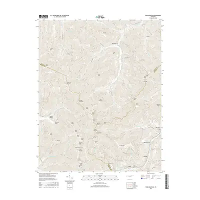
2016 Fork Mountain
Scott County, TN
2016 Honey Creek
Scott County, TN
2016 Ketchen
Scott County, TN
2016 Norma
Scott County, TN
2016 Oneida North
Scott County, TN
2016 Oneida South
Scott County, TN
2019 Barthell SW
Scott County, TN
2019 Fork Mountain
Scott County, TN
2019 Honey Creek
Scott County, TN
2019 Ketchen
Scott County, TN
2019 Norma
Scott County, TN
2019 Oneida North
Scott County, TN
2019 Oneida South
Scott County, TN
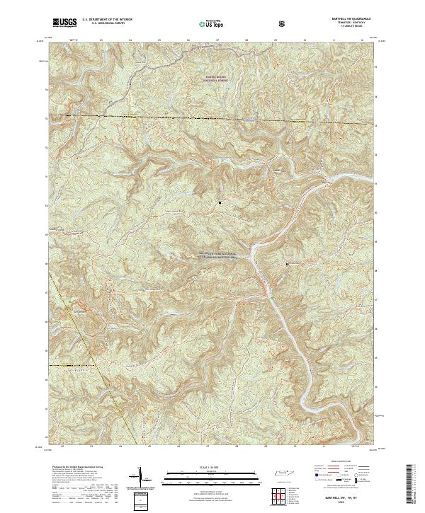
2022 Barthell SW
Scott County, TN
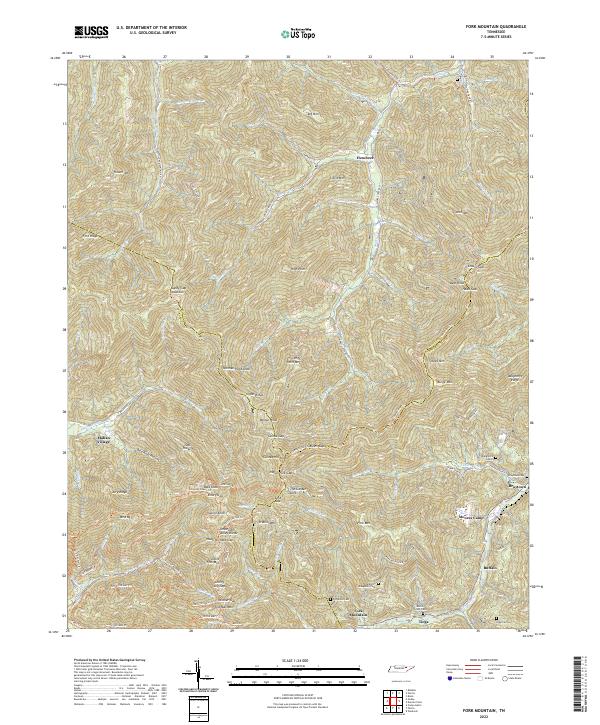
2022 Fork Mountain
Scott County, TN
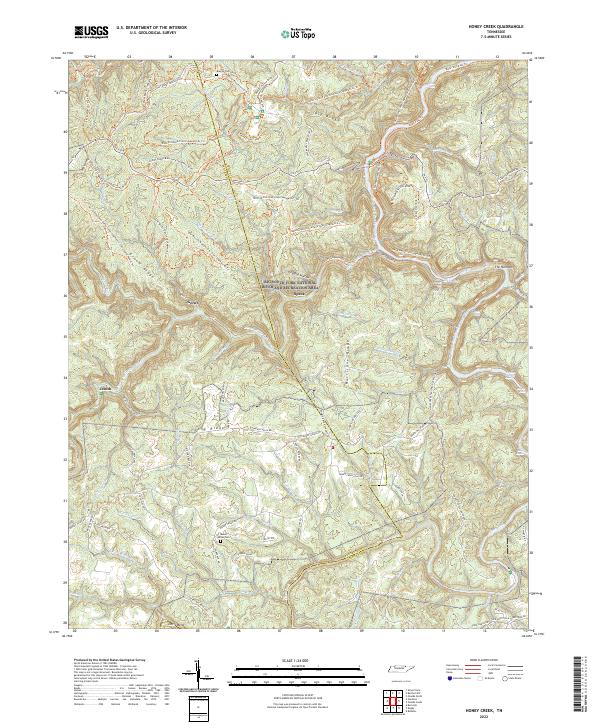
2022 Honey Creek
Scott County, TN
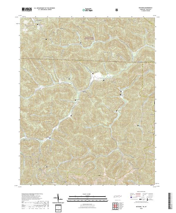
2022 Ketchen
Scott County, TN
2022 Norma
Scott County, TN
2022 Oneida North
Scott County, TN
2022 Oneida South
Scott County, TN