
1974 Map of Oneida South
USGS Topo · Published 1978About this map
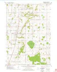
The Oneida Indian Reservation dominates this mid-1970s landscape southwest of Green Bay, showing a blend of agricultural land and growing suburban infrastructure. The community of Oneida is a focal point, supported by institutional landmarks like the Sacred Heart Center, Holy Apostles Ch, and St Joseph Cem. To the east, the aviation presence of Austin Straubel Field borders the town of Hobart, while the Fox River carves the southeastern corner of the map near Little Rapids. Transport and industrial activity are evident in the Chicago and Northwestern rail line and numerous extractive sites, including a Quarry and various Sandpit locations. The southern portion of the sheet features the Lost Dauphin State Park along the river, providing a cultural anchor near the Williams Grant and Lawrence townships.
Find a feature on this map
68 named features on this map. Tap any name to fly to it.
Don’t see what you’re looking for? This feature index may not catch every label — zoom into the map to look around manually.
Map Details
Editions of this 1974 Oneida South Map
This is the sole edition of this map. No revisions or reprints were ever made.
Other maps of this area

1954 · De Pere
USGS Topo · 1:62,500
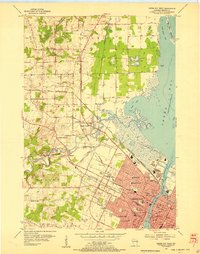
1954 · Green Bay West
USGS Topo · 1:24,000
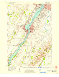
1954 · De Pere
USGS Topo · 1:24,000

1954 · Green Bay
USGS Topo · 1:62,500

1955 · Appleton
USGS Topo · 1:62,500

1955 · Seymour
USGS Topo · 1:62,500

1955 · Green Bay
USGS Topo · 1:250,000
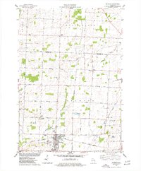
1974 · Seymour
USGS Topo · 1:24,000
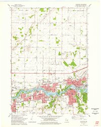
1974 · Kaukauna
USGS Topo · 1:24,000
1974 · Greenleaf
USGS Topo · 1:24,000