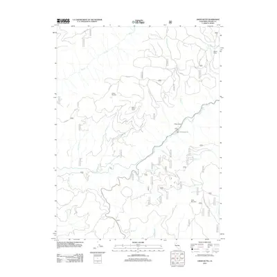
2012 Map of Onion Butte
USGS Topo · Published 2012About this map
Onion Butte and Onion Summit anchor this high-elevation landscape within the southern Cascades, where the historic Lassen Trl winds through the terrain. The map documents a complex drainage system led by Deer Creek, which features both Deer Creek Falls and Lower Deer Creek Falls as it cuts through the mountains. Human activity is centered around forest management and recreation, evidenced by the Potato Patch Campground and the network of forest service roads like Colby Mountain Lookout Rd. To the south, Colby Mountain overlooks the confluence of numerous creeks, including N Fork Calf Cr and S Fork Calf Cr. The presence of the Transfer landmark and various named meadows such as Potato Patch reflect the area's long-standing use for transit and seasonal grazing.
Find a feature on this map
60 named features on this map. Tap any name to fly to it.
Don’t see what you’re looking for? This feature index may not catch every label — zoom into the map to look around manually.
Map Details
Editions of this 2012 Onion Butte Map
This is the sole edition of this map. No revisions or reprints were ever made.
Other maps of this area
1886 · Lassen Peak
USGS Topo · 1:250,000
1892 · Lassen Peak
USGS Topo · 1:250,000
1894 · Lassen Peak
USGS Topo · 1:250,000
1935 · Paynes Creek
USGS Topo · 1:96,000
1941 · Mineral
USGS Topo · 1:125,000
1955 · Westwood
USGS Topo · 1:250,000
1956 · Lassen Peak
USGS Topo · 1:62,500
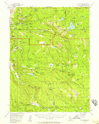
1956 · Mt. Harkness
USGS Topo · 1:62,500
1958 · Westwood
USGS Topo · 1:250,000
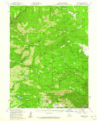
1958 · Jonesville
USGS Topo · 1:62,500