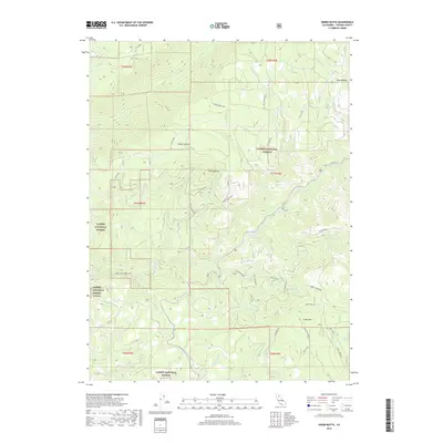
2018 Map of Onion Butte
USGS Topo · Published 2018About this map
Lassen Trail tracks across this high-elevation landscape of the Lassen National Forest, following the ridgelines and creek drainages that defined early transit through Tehama County. The terrain is anchored by prominent peaks like Onion Butte and Colby Mtn, the latter featuring the Colby Mtn Lookout. This network of Forest Service roads and historical trails reveals a landscape managed for resource and recreation, where Ca 32 now winds through the canyons of Deer Creek. The map documents significant water features, including the distinct tiers of Deer Creek Falls and Lower Deer Creek Falls, alongside named localities such as Rattlesnake and Peckerwood. The presence of the Lassen Trl and various "Spur" roads like the Onion Butte Spur indicates the area's long-standing importance for both timber access and the preservation of pioneer-era corridors.
Find a feature on this map
40 named features on this map. Tap any name to fly to it.
Don’t see what you’re looking for? This feature index may not catch every label — zoom into the map to look around manually.
Map Details
Editions of this 2018 Onion Butte Map
This is the sole edition of this map. No revisions or reprints were ever made.
Other maps of this area
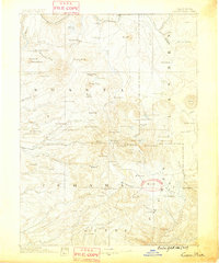
1886 · Lassen Peak
USGS Topo · 1:250,000
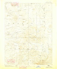
1892 · Lassen Peak
USGS Topo · 1:250,000
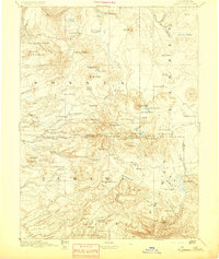
1894 · Lassen Peak
USGS Topo · 1:250,000
1935 · Paynes Creek
USGS Topo · 1:96,000
1941 · Mineral
USGS Topo · 1:125,000
1955 · Westwood
USGS Topo · 1:250,000
1956 · Lassen Peak
USGS Topo · 1:62,500
1956 · Mt. Harkness
USGS Topo · 1:62,500
1958 · Westwood
USGS Topo · 1:250,000
1958 · Jonesville
USGS Topo · 1:62,500