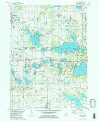
1980 Map of Onsted
USGS Topo · Published 1981About this map
The Irish Hills region of Michigan is defined by its glacial lake density and mid-century recreation landscape, as seen in this 1980 survey. Anchored by the village of Brooklyn in the northwest and Onsted in the south, the area features a heavy concentration of water bodies including Vineyard Lake, Wamplers Lake, and Wolf Lake. This map captures a significant period in the area's development as a regional tourism hub, showing the Michigan International Speedway and various seasonal camps like Judson Collins Camp and Camp O' The Hills. Cultural landmarks such as St Joseph Shrine and the Cambridge State Historic Park at Cambridge Junction reflect the intersection of the region's religious and pioneer heritage. The landscape is also dotted with evidence of local industry and infrastructure, from the Nooney Dam on the River Raisin to numerous gravel pits and quarries supporting regional construction.
Find a feature on this map
96 named features on this map. Tap any name to fly to it.
Don’t see what you’re looking for? This feature index may not catch every label — zoom into the map to look around manually.
Map Details
Editions of this 1980 Onsted Map
2 editions found
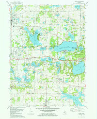
Other maps of this area

1935 · Jackson
USGS Topo · 1:48,000

1939 · Jackson
USGS Topo · 1:62,500

1948 · Manchester
USGS Topo · 1:62,500

1949 · Manchester
USGS Topo · 1:62,500

1953 · Fort Wayne
USGS Topo · 1:250,000

1956 · Fort Wayne
USGS Topo · 1:250,000

1958 · Grand Rapids
USGS Topo · 1:250,000

1961 · Grand Rapids
USGS Topo · 1:250,000

1962 · Grand Rapids
USGS Topo · 1:250,000
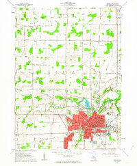
1962 · Adrian
USGS Topo · 1:24,000