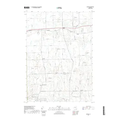
2019 Map of Ontario
USGS Topo · Published 2019About this map
Ontario and its neighboring hamlets sit within a landscape of drumlins and glacial drainage in this contemporary survey of Wayne County. The settlement pattern follows established corridors like Co Rd 103, where centers such as Union Hill and Fruitland are situated. This area is particularly dense with small family and community burial grounds, including the Dickinson Cem, Gould Cem, and Baker Cem, providing significant touchpoints for genealogical research. The terrain is defined by prominent rises such as Negro Hill, Morse Hill, and Freewill Hill, while numerous small waterways including Salmon Cr, Bear Cr, and Fourmile Cr weave through the township. The proximity of Ontario Center and West Walworth illustrates the enduring layout of these rural New York crossroads communities into the modern era.
Find a feature on this map
105 named features on this map. Tap any name to fly to it.
Don’t see what you’re looking for? This feature index may not catch every label — zoom into the map to look around manually.
Map Details
Editions of this 2019 Ontario Map
This is the sole edition of this map. No revisions or reprints were ever made.
Other maps of this area

1899 · Palmyra
USGS Topo · 1:62,500

1900 · Macedon
USGS Topo · 1:62,500

1902 · Pultneyville
USGS Topo · 1:62,500

1902 · Palmyra
USGS Topo · 1:62,500

1932 · Webster
USGS Topo · 1:24,000

1932 · Fairport
USGS Topo · 1:24,000

1934 · Fairport
USGS Topo · 1:24,000
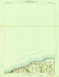
1934 · Ninemile Point
USGS Topo · 1:24,000

1934 · Webster
USGS Topo · 1:24,000

1942 · Ontario
USGS Topo · 1:31,680