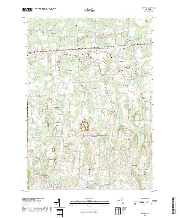
2023 Map of Ontario
USGS Topo · Published 2023About this map
Ontario and Ontario Center serve as the focal points for this region of Wayne County, where a dense network of roads like Kenyon Rd and Plank Rd connects a series of historic crossroads and agricultural hamlets. The landscape is defined by its glacial drumlin topography, visible in numerous named elevations such as Mathewson Hill, Morse Hill, and Trummonds Hill. These rises are separated by a complex drainage system featuring Deer Creek, Bear Creek, and Fourmile Creek.
Find a feature on this map
58 named features on this map. Tap any name to fly to it.
Don’t see what you’re looking for? This feature index may not catch every label — zoom into the map to look around manually.
Map Details
Editions of this 2023 Ontario Map
This is the sole edition of this map. No revisions or reprints were ever made.
Other maps of this area

1899 · Palmyra
USGS Topo · 1:62,500

1900 · Macedon
USGS Topo · 1:62,500

1902 · Pultneyville
USGS Topo · 1:62,500

1902 · Palmyra
USGS Topo · 1:62,500

1932 · Webster
USGS Topo · 1:24,000

1932 · Fairport
USGS Topo · 1:24,000

1934 · Fairport
USGS Topo · 1:24,000
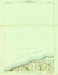
1934 · Ninemile Point
USGS Topo · 1:24,000

1934 · Webster
USGS Topo · 1:24,000

1942 · Ontario
USGS Topo · 1:31,680