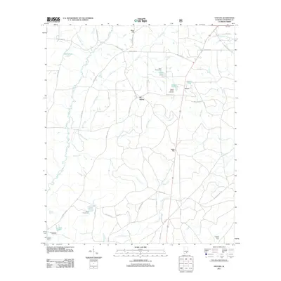
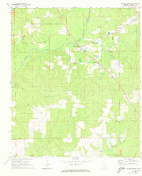
2011 Map of Onycha
USGS Topo · Published 2011About this map
Yellow River meanders through the western half of this Covington County landscape, defining a terrain shaped by numerous creeks and family-named water features. Small settlements like Horn Hill, Onycha, and Green Bay are interconnected by a network of rural routes, including Lindsey Bridge Rd and Woodall Mill Rd, which suggest the historic importance of river crossings and local industry. To the south, the Lawrence Lookout Tower stands as a prominent landmark near the headwaters of Clear Creek.
Find a feature on this map
52 named features on this map. Tap any name to fly to it.
Don’t see what you’re looking for? This feature index may not catch every label — zoom into the map to look around manually.
Map Details
Editions of this 2011 Onycha Map
This is the sole edition of this map. No revisions or reprints were ever made.
Other maps of this area

1953 · Andalusia
USGS Topo · 1:250,000

1957 · Andalusia
USGS Topo · 1:250,000

1968 · Opp East
USGS Topo · 1:24,000
1969 · Hacoda
USGS Topo · 1:24,000
1969 · Kinston
USGS Topo · 1:24,000

1971 · Libertyville
USGS Topo · 1:24,000

1971 · Onycha
USGS Topo · 1:24,000

1971 · Andalusia
USGS Topo · 1:24,000
1971 · Florala
USGS Topo · 1:24,000
1971 · Watkins Bridge
USGS Topo · 1:24,000