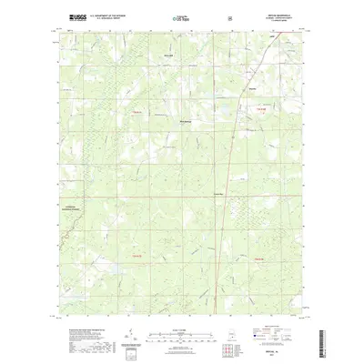
2021 Map of Onycha
USGS Topo · Published 2021About this map
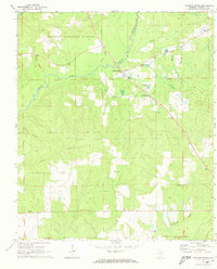
The Yellow River flows through the western edge of this Covington County landscape, where the northern reaches of the Conecuh National Forest meet a patchwork of rural settlements and agricultural land. Centered near the community of Blue Springs, the area is defined by a dense network of local routes such as Horn Hill Rd and Cantaline Bridge Rd, connecting small hubs like Green Bay and Onycha. Numerous named water bodies like Taylor Pond, Danley Park Lake, and Hudgens Pond dot the terrain, illustrating the importance of local hydrology to the region's development. To the north, the southern outskirts of Opp are visible, showing how the rural road system integrates with the larger town. The map reveals a transition from protected forest lands to the settled communities of Horn Hill and beyond, providing a detailed record of land use and family-named landmarks.
Find a feature on this map
77 named features on this map. Tap any name to fly to it.
Don’t see what you’re looking for? This feature index may not catch every label — zoom into the map to look around manually.
Map Details
Editions of this 2021 Onycha Map
This is the sole edition of this map. No revisions or reprints were ever made.
Other maps of this area

1953 · Andalusia
USGS Topo · 1:250,000

1957 · Andalusia
USGS Topo · 1:250,000

1968 · Opp East
USGS Topo · 1:24,000
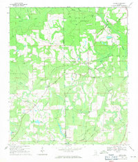
1969 · Hacoda
USGS Topo · 1:24,000
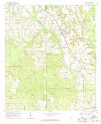
1969 · Kinston
USGS Topo · 1:24,000

1971 · Libertyville
USGS Topo · 1:24,000

1971 · Onycha
USGS Topo · 1:24,000

1971 · Andalusia
USGS Topo · 1:24,000
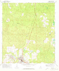
1971 · Florala
USGS Topo · 1:24,000
1971 · Watkins Bridge
USGS Topo · 1:24,000