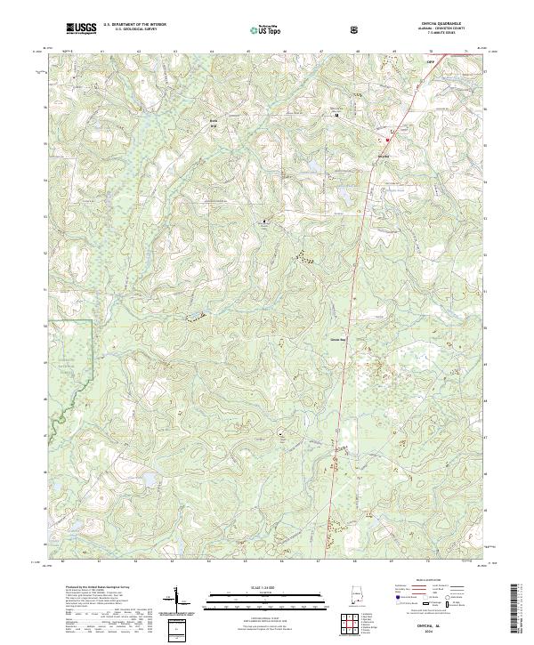
2024 Map of Onycha
USGS Topo · Published 2024About this map
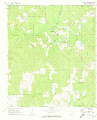
Onycha and the surrounding timberlands of the Conecuh National Forest define this corner of Covington County, where the Yellow River and its numerous tributaries carve a dense network of drainage through the landscape. The settlement patterns reflect a rural economy tied to the land, with small communities like Horn Hill and Green Bay connected by a web of county roads and river crossings. Genealogists will find significant detail in the placement of local burial grounds, including the Welcome the Way Cem and the Blue Springs Church Cem near the Blue Springs Church. The abundance of small water bodies such as Taylor Pond, Adams Pond, and Danley Park Lake suggests a terrain rich in both natural and managed water resources, while the presence of Mulberry Creek and Clear Creek indicates the importance of these waterways to the local topography and history.
Find a feature on this map
77 named features on this map. Tap any name to fly to it.
Don’t see what you’re looking for? This feature index may not catch every label — zoom into the map to look around manually.
Map Details
Editions of this 2024 Onycha Map
This is the sole edition of this map. No revisions or reprints were ever made.
Other maps of this area

1953 · Andalusia
USGS Topo · 1:250,000

1957 · Andalusia
USGS Topo · 1:250,000

1968 · Opp East
USGS Topo · 1:24,000
1969 · Hacoda
USGS Topo · 1:24,000
1969 · Kinston
USGS Topo · 1:24,000

1971 · Libertyville
USGS Topo · 1:24,000

1971 · Onycha
USGS Topo · 1:24,000

1971 · Andalusia
USGS Topo · 1:24,000
1971 · Florala
USGS Topo · 1:24,000
1971 · Watkins Bridge
USGS Topo · 1:24,000