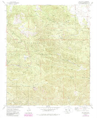
1972 Map of Onyx Peak
USGS Topo · Published 1988About this map
Onyx Peak stands as the central topographic focal point in this portion of the San Bernardino National Forest, where the high desert meets steep mountain ridges. The map reveals a landscape defined by seasonal water sources and early high-altitude industry, notably at Rose Mine and the isolated Bain Ranch. This terrain necessitated a complex network of paths, ranging from a standard Jeep Trail to the prominent Pacific Crest National Scenic Trail.
Find a feature on this map
32 named features on this map. Tap any name to fly to it.
Don’t see what you’re looking for? This feature index may not catch every label — zoom into the map to look around manually.
Map Details
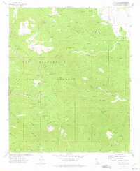
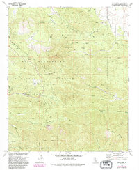
Editions of this 1972 Onyx Peak Map
3 editions found
Other maps of this area

1901 · Southern California Sheet No. 1
USGS Topo · 1:250,000

1902 · San Gorgonio
USGS Topo · 1:125,000

1904 · Southern California Sheet No. 1
USGS Topo · 1:250,000

1947 · Lucerne Valley
USGS Topo · 1:62,500

1949 · Lucerne Valley
USGS Topo · 1:62,500

1953 · San Bernardino
USGS Topo · 1:250,000

1954 · San Gorgonio Mountain
USGS Topo · 1:62,500

1955 · Old Woman Springs
USGS Topo · 1:62,500

1955 · Morongo Valley
USGS Topo · 1:62,500

1956 · San Bernardino
USGS Topo · 1:250,000