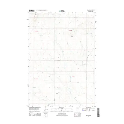
2015 Map of Opal East
USGS Topo · Published 2015About this map
The small community of Opal serves as the focal point for this rural expanse in Meade County, South Dakota. Located at the intersection of Opal Rd and Fox Ridge Rd, the settlement is surrounded by a complex system of waterways, most notably the numerous branches of Beaver Dam Creek. To the west, Beaver Cr meanders toward the county line, while the Middle Br Beaver Dam Cr and E Br Beaver Dam Cr dominate the central and eastern portions of the quadrangle.
Find a feature on this map
24 named features on this map. Tap any name to fly to it.
Don’t see what you’re looking for? This feature index may not catch every label — zoom into the map to look around manually.
Map Details
Editions of this 2015 Opal East Map
This is the sole edition of this map. No revisions or reprints were ever made.
Other maps of this area
1951 · Maurine
USGS Topo · 1:24,000
1952 · Deep Creek SE
USGS Topo · 1:24,000
1952 · Signal Butte
USGS Topo · 1:24,000

1953 · Rapid City
USGS Topo · 1:250,000

1954 · Lemmon
USGS Topo · 1:250,000

1957 · Lemmon
USGS Topo · 1:250,000

1957 · Rapid City
USGS Topo · 1:250,000
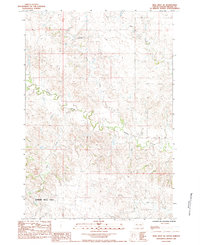
1983 · Opal West SE
USGS Topo · 1:24,000
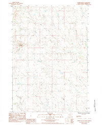
1983 · Lemmon Butte
USGS Topo · 1:24,000
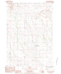
1983 · Opal East
USGS Topo · 1:24,000